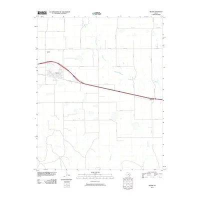
2010 Map of Groom
USGS Topo · Published 2010About this map
Groom serves as the primary hub of this High Plains landscape, where the town layout is oriented toward the major highway corridor that bisects the region. This 2010 survey illustrates the transition from organized town streets to a sprawling network of ranch and farm roads, reflecting the deep-rooted agricultural and ranching heritage of Carson County. The terrain is defined by the headwaters and drainage basins of several watercourses, most notably McClellan Creek, which winds northward through the central portion of the map.
Find a feature on this map
35 named features on this map. Tap any name to fly to it.
Don’t see what you’re looking for? This feature index may not catch every label — zoom into the map to look around manually.
Map Details
Editions of this 2010 Groom Map
This is the sole edition of this map. No revisions or reprints were ever made.
Other maps of this area

1954 · Amarillo
USGS Topo · 1:250,000

1958 · Amarillo
USGS Topo · 1:250,000

1960 · Groom
USGS Topo · 1:62,500

1962 · Roach Ranch
USGS Topo · 1:24,000

1964 · Jericho
USGS Topo · 1:24,000

1966 · Grandview School
USGS Topo · 1:24,000

1966 · White Deer SW
USGS Topo · 1:24,000
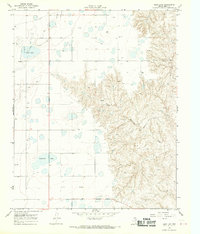
1968 · Deep Lake
USGS Topo · 1:24,000
1983 · Shamrock
USGS Topo · 1:100,000
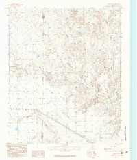
1983 · Ashtola
USGS Topo · 1:24,000