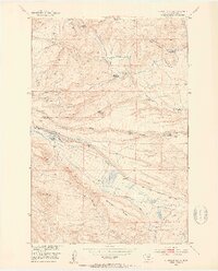
1951 Map of Grosfield Ranch
USGS Topo · Published 1953About this map
Grosfield Ranch and the surrounding high country of Sweet Grass County are documented here during a period of agricultural transition in the early 1950s. The landscape is defined by the drainage systems of Big Timber Creek and Swamp Creek, where a network of irrigation ditches like Beley Ditch supported the ranching economy. The map reveals a poignant pattern of settlement, specifically identifying numerous properties that had already fallen out of use by the middle of the twentieth century.
Find a feature on this map
22 named features on this map. Tap any name to fly to it.
Don’t see what you’re looking for? This feature index may not catch every label — zoom into the map to look around manually.
Map Details
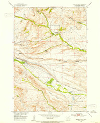
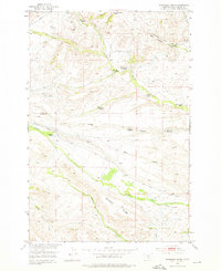
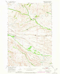
Editions of this 1951 Grosfield Ranch Map
4 editions found
Other maps of this area

1886 · Little Belt Mts.
USGS Topo · 1:250,000

1889 · Big Snowy Mountain
USGS Topo · 1:250,000

1891 · Livingston
USGS Topo · 1:250,000

1891 · Big Timber
USGS Topo · 1:125,000

1893 · Livingston
USGS Topo · 1:250,000

1893 · Big Snowy Mountain
USGS Topo · 1:250,000

1893 · Big Timber
USGS Topo · 1:125,000

1894 · Little Belt Mts.
USGS Topo · 1:250,000

1897 · Little Belt Mts.
USGS Topo · 1:250,000

1898 · Little Belt Mts.
USGS Topo · 1:250,000