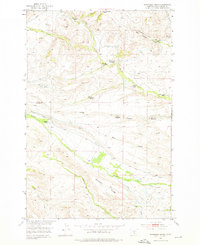
1951 Map of Grosfield Ranch
USGS Topo · Published 1976About this map
Family-named ranching and homesteading claims define this high-country landscape in Sweet Grass County, mapped just after the mid-century. The terrain is deeply inscribed by the livestock economy of the era, visible in the numerous irrigation Ditch lines that divert water from South Fork Big Timber Creek and Whitetail Creek to sustain the bottomlands. The map reveals a high density of early 20th-century residential history, often noting which sites remained active, such as the Buffalo Jump Ranch and Plaggemeyer Homestead, and which had been left behind. Sites like the Langus Homestead (Aban'd) and Vik Homestead (Aban'd) are explicitly marked as abandoned, providing a precise spatial record of the shifting settlement patterns in the foothills below Big Timber Canyon. Extensive topography shows the complex drainage systems of Long Gulch and Plaggemeyer Gulch as they descend toward Swamp Creek.
Find a feature on this map
22 named features on this map. Tap any name to fly to it.
Don’t see what you’re looking for? This feature index may not catch every label — zoom into the map to look around manually.
Map Details
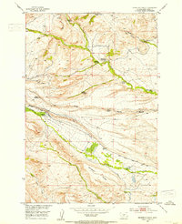
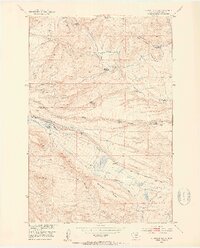
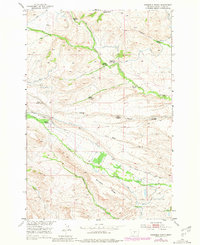
Editions of this 1951 Grosfield Ranch Map
4 editions found
Other maps of this area

1886 · Little Belt Mts.
USGS Topo · 1:250,000

1889 · Big Snowy Mountain
USGS Topo · 1:250,000

1891 · Livingston
USGS Topo · 1:250,000

1891 · Big Timber
USGS Topo · 1:125,000

1893 · Livingston
USGS Topo · 1:250,000

1893 · Big Snowy Mountain
USGS Topo · 1:250,000

1893 · Big Timber
USGS Topo · 1:125,000

1894 · Little Belt Mts.
USGS Topo · 1:250,000

1897 · Little Belt Mts.
USGS Topo · 1:250,000

1898 · Little Belt Mts.
USGS Topo · 1:250,000