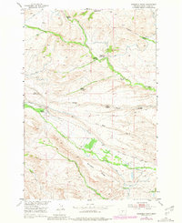
1951 Map of Grosfield Ranch
USGS Topo · Published 1981About this map
The homesteads and ranches of the Missouri River Basin project area define this Montana landscape as it appeared in the mid-20th century. Named landmarks like the Grosfield Ranch and Buffalo Jump Ranch anchor the local geography, while several earlier properties are noted as being already unoccupied, including the Langus Homestead, Vik Homestead, and Iverson Homestead. The map shows a clear reliance on water management for agriculture, with numerous Ditch labels indicating irrigation networks carved out to serve these isolated valley dwellings.
Find a feature on this map
23 named features on this map. Tap any name to fly to it.
Don’t see what you’re looking for? This feature index may not catch every label — zoom into the map to look around manually.
Map Details
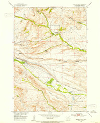
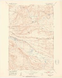
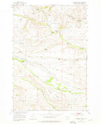
Editions of this 1951 Grosfield Ranch Map
4 editions found
Other maps of this area

1886 · Little Belt Mts.
USGS Topo · 1:250,000

1889 · Big Snowy Mountain
USGS Topo · 1:250,000

1891 · Livingston
USGS Topo · 1:250,000

1891 · Big Timber
USGS Topo · 1:125,000

1893 · Livingston
USGS Topo · 1:250,000

1893 · Big Snowy Mountain
USGS Topo · 1:250,000

1893 · Big Timber
USGS Topo · 1:125,000

1894 · Little Belt Mts.
USGS Topo · 1:250,000

1897 · Little Belt Mts.
USGS Topo · 1:250,000

1898 · Little Belt Mts.
USGS Topo · 1:250,000