
1956 Map of Grossman Hammock
USGS Topo · Published 1957About this map
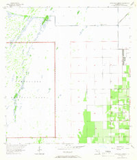
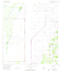
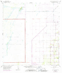
Grossman Hammock rises as a distinct landscape feature amidst the sprawling Everglades in the mid-1950s. This survey illustrates the boundary line of Everglades National Park and the transition from the protected wetland environment to the structured grid of southern Florida’s developing agricultural and residential lands. Water is central to the area's geography, noted specifically by the presence of Lake Chekika and a nearby Spring.
Find a feature on this map
21 named features on this map. Tap any name to fly to it.
Don’t see what you’re looking for? This feature index may not catch every label — zoom into the map to look around manually.
Map Details
Editions of this 1956 Grossman Hammock Map
4 editions found
Other maps of this area

1949 · South Miami NW
USGS Topo · 1:24,000

1949 · Goulds
USGS Topo · 1:24,000

1950 · Homestead
USGS Topo · 1:24,000

1955 · South Miami NW
USGS Topo · 1:24,000

1956 · Goulds
USGS Topo · 1:24,000

1956 · Homestead
USGS Topo · 1:24,000

1956 · Royal Palm Ranger Station
USGS Topo · 1:24,000

1956 · Miami
USGS Topo · 1:250,000

1958 · Miami
USGS Topo · 1:250,000

1972 · Chekika Island
USGS Topo · 1:24,000