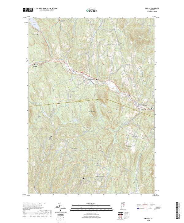
2024 Map of Groton
USGS Topo · Published 2024About this map
Wells River carves a central path through this Vermont landscape, connecting the settlements of Groton and South Ryegate along its course. The terrain is defined by significant elevations such as Blue Mtn, Whitcher Mtn, and the Pine Mountains, which hem in the narrow valleys where local roads like Little Italy Rd and Scotch Hollow Rd follow the natural topography. The map reveals a high density of small family and community burial grounds, including Heath Cem, Hillside Cem, and the remote Hucking Caldwell Hill Cem, which serve as vital markers for local genealogical research.
Find a feature on this map
101 named features on this map. Tap any name to fly to it.
Don’t see what you’re looking for? This feature index may not catch every label — zoom into the map to look around manually.
Map Details
Editions of this 2024 Groton Map
This is the sole edition of this map. No revisions or reprints were ever made.
Other maps of this area

1931 · Woodsville
USGS Topo · 1:48,000

1935 · Woodsville
USGS Topo · 1:62,500

1938 · St. Johnsbury
USGS Topo · 1:48,000

1939 · Plainfield
USGS Topo · 1:48,000

1940 · Plainfield
USGS Topo · 1:62,500

1941 · Woodsville
USGS Topo · 1:62,500

1943 · Plainfield
USGS Topo · 1:62,500

1943 · St. Johnsbury
USGS Topo · 1:62,500

1947 · Corinth
USGS Topo · 1:62,500

1948 · East Barre
USGS Topo · 1:62,500