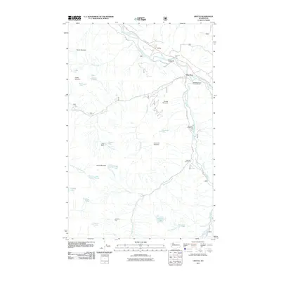
2011 Map of Grotto
USGS Topo · Published 2011About this map
The South Fork Skykomish River flows through the northern reaches of this territory, where the small settlements of Grotto and Miller River sit along the path of the Old Cascade Hwy. This 2011 survey reveals a landscape defined by sharp elevation changes and high alpine basins, such as Goat Basin, which feed a complex network of creeks including Money Creek and Kimball Creek. The map documents a clear intersection of recreational and industrial history, marking several sites like the Money Creek Campground alongside the Cleopatra Mine located near Lennox Lake. Transportation infrastructure is a central feature, evidenced by the Tunnel on US 2 and the Cascade Stevens Highway Bridge. The terrain transitions from the river valleys to prominent peaks like Palmer Mountain, Temple Mountain, and Lennox Mountain, with numerous high-altitude water bodies such as Coney Lake and Lake Kanim dotting the ridges.
Find a feature on this map
45 named features on this map. Tap any name to fly to it.
Don’t see what you’re looking for? This feature index may not catch every label — zoom into the map to look around manually.
Map Details
Editions of this 2011 Grotto Map
This is the sole edition of this map. No revisions or reprints were ever made.
Other maps of this area

1902 · Skykomish
USGS Topo · 1:125,000

1905 · Skykomish
USGS Topo · 1:125,000

1921 · Sultan
USGS Topo · 1:125,000

1923 · Sultan
USGS Topo · 1:125,000

1957 · Index
USGS Topo · 1:62,500

1957 · Wenatchee
USGS Topo · 1:250,000

1960 · Mount Si
USGS Topo · 1:62,500

1965 · Evergreen Mtn
USGS Topo · 1:24,000

1965 · Grotto
USGS Topo · 1:24,000

1965 · Skykomish
USGS Topo · 1:24,000