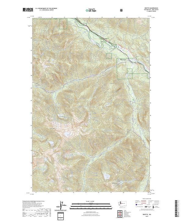
2023 Map of Grotto
USGS Topo · Published 2023About this map
The South Fork Skykomish River flows through the northern reaches of this mountain landscape, where the settlement of Grotto sits along the NE Old Cascade Hwy. This territory is defined by its dramatic elevation changes, from the heights of Palmer Mtn and Crosby Mtn down to the steep drainage of Lowe Creek. Much of the land is preserved within the Wild Sky Wilderness, Snoqualmie National Forest, and Alpine Lakes Wilderness, illustrating the region's long-standing status as a protected natural resource area.
Find a feature on this map
52 named features on this map. Tap any name to fly to it.
Don’t see what you’re looking for? This feature index may not catch every label — zoom into the map to look around manually.
Map Details
Editions of this 2023 Grotto Map
This is the sole edition of this map. No revisions or reprints were ever made.
Other maps of this area

1902 · Skykomish
USGS Topo · 1:125,000

1905 · Skykomish
USGS Topo · 1:125,000

1921 · Sultan
USGS Topo · 1:125,000

1923 · Sultan
USGS Topo · 1:125,000

1957 · Index
USGS Topo · 1:62,500

1957 · Wenatchee
USGS Topo · 1:250,000

1960 · Mount Si
USGS Topo · 1:62,500

1965 · Evergreen Mtn
USGS Topo · 1:24,000

1965 · Grotto
USGS Topo · 1:24,000

1965 · Skykomish
USGS Topo · 1:24,000