
1962 Map of Grouse Mountain
USGS Topo · Published 1964About this map
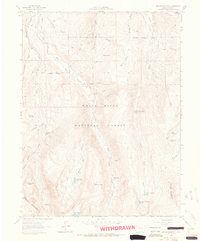
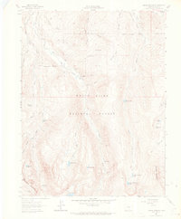
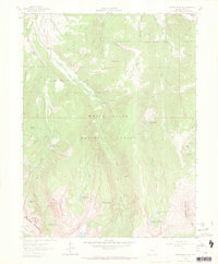
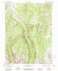
White River National Forest defines this high-altitude landscape in Eagle County, dominated by the massif of New York Mountain and the prominent Grouse Mountain. The 1960s terrain is marked by an extensive network of drainage and water management, including the Creamery Ditch and Brass No 1 Ditch, which redirect water through steep gulches and past McCoy Park. While the area is largely wilderness, human activity is evident in the presence of Nye Cabin and industrial signatures like the Discovery Tunnel and Ohio Tunnel near Snowslide Park.
Find a feature on this map
47 named features on this map. Tap any name to fly to it.
Don’t see what you’re looking for? This feature index may not catch every label — zoom into the map to look around manually.
Map Details
Editions of this 1962 Grouse Mountain Map
5 editions found
Other maps of this area

1889 · Leadville
USGS Topo · 1:125,000

1891 · Leadville
USGS Topo · 1:125,000

1909 · Mount Jackson
USGS Topo · 1:125,000

1911 · Mount Jackson
USGS Topo · 1:125,000

1934 · Minturn
USGS Topo · 1:62,500

1942 · Leadville
USGS Topo · 1:125,000

1949 · Holy Cross
USGS Topo · 1:62,500

1950 · Minturn
USGS Topo · 1:62,500

1951 · Holy Cross
USGS Topo · 1:62,500

1957 · Leadville
USGS Topo · 1:250,000