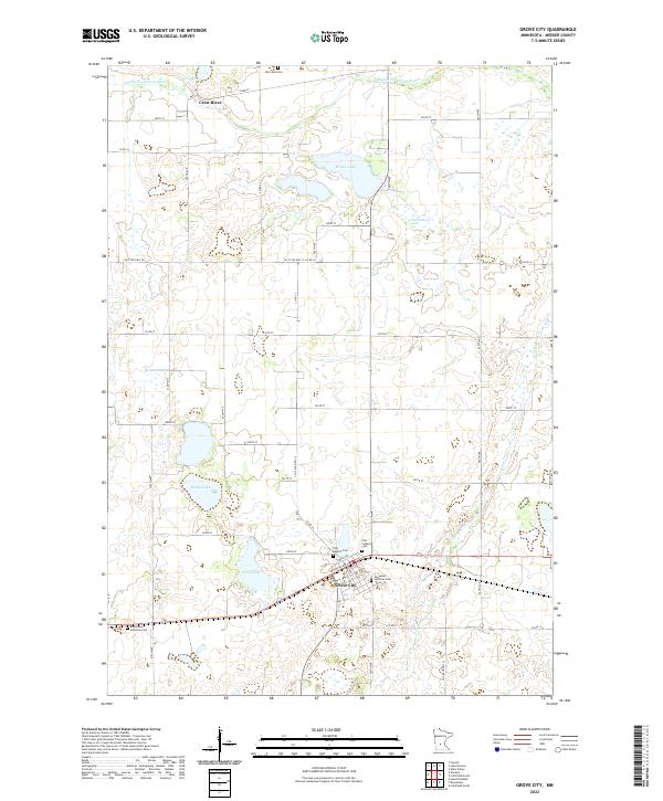
2022 Map of Grove City
USGS Topo · Published 2022About this map
Grove City serves as the primary hub of this central Minnesota landscape, situated at the intersection of a grid-iron road network and a prominent rail line. The town's religious and civic heritage is well-documented through several dedicated burial sites, including the Immanuel Lutheran Cem and First Baptist Cem. This area of Meeker County is characterized by its numerous glacial water bodies, with Wilcox Lake and Lund Lake dominating the central terrain, while the Middle Fork Crow River and Crow River flow through the northern reaches. The survey shows a highly structured agricultural landscape, where township lines like t120n r32w define the placement of rural roads such as Co St Aid Hwy 16. Farther south, the Bethlehem Lutheran Cem sits along a quiet stretch of 515th Ave, marking the long-standing spiritual centers of the outlying farming communities.
Find a feature on this map
52 named features on this map. Tap any name to fly to it.
Don’t see what you’re looking for? This feature index may not catch every label — zoom into the map to look around manually.
Map Details
Editions of this 2022 Grove City Map
This is the sole edition of this map. No revisions or reprints were ever made.
Other maps of this area

1953 · Saint Cloud
USGS Topo · 1:250,000

1956 · Atwater
USGS Topo · 1:62,500

1957 · Saint Cloud
USGS Topo · 1:250,000

1958 · Saint Cloud
USGS Topo · 1:250,000

1967 · Grove City
USGS Topo · 1:24,000

1967 · Litchfield South
USGS Topo · 1:24,000

1967 · Litchfield North
USGS Topo · 1:24,000

1967 · Lake Koronis
USGS Topo · 1:24,000
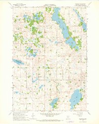
1967 · Rosendale
USGS Topo · 1:24,000

1967 · Hawick
USGS Topo · 1:24,000
Featured Places
- Grove City, MN
- Four Jays Mobile Home Park, Grove City
- North Side Mobile Home Park, Grove City
- North Side Mobile Home Park, Grove City
- Four Jays Mobile Home Park, Grove City