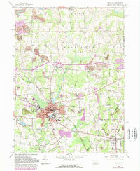
1961 Map of Grove City
USGS Topo · Published 1989About this map
Grove City College dominates the heart of the borough during this mid-century period, situated near the confluence of Wolf Creek and Swamp Run. The landscape is a mix of educational institution grounds and residential expansion, with the Bessemer and Lake Erie Railroad providing a vital industrial spine through the center of town. Local life is documented through numerous educational and civic landmarks, including the School For Boys, Junior High Sch, and the Armory.
Find a feature on this map
55 named features on this map. Tap any name to fly to it.
Don’t see what you’re looking for? This feature index may not catch every label — zoom into the map to look around manually.
Map Details
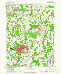
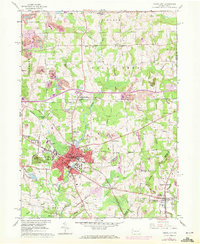
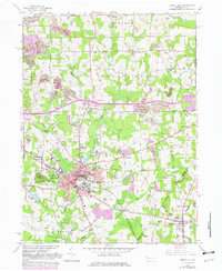
Editions of this 1961 Grove City Map
4 editions found
Other maps of this area

1909 · Franklin
USGS Topo · 1:62,500

1910 · Hilliards
USGS Topo · 1:62,500

1911 · Franklin
USGS Topo · 1:62,500

1911 · Stoneboro
USGS Topo · 1:62,500

1912 · Hilliards
USGS Topo · 1:62,500

1913 · Stoneboro
USGS Topo · 1:62,500

1913 · Mercer
USGS Topo · 1:62,500

1939 · Mercer
USGS Topo · 1:62,500

1943 · Mercer
USGS Topo · 1:62,500

1943 · Stoneboro
USGS Topo · 1:62,500