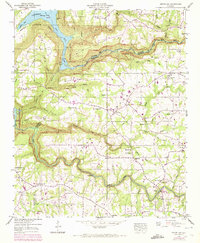
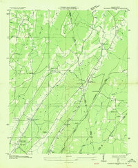
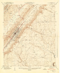
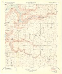
1946 Map of Grove Oak
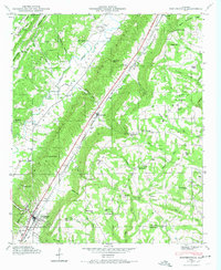
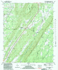
USGS Topo · Published 1972This historical map portrays the area of Grove Oak in 1946, primarily covering DeKalb County as well as portions of Marshall County and Jackson County. Featuring a scale of 1:24000, this map provides a highly detailed snapshot of the terrain, roads, buildings, counties, and historical landmarks in the Grove Oak region at the time. Published in 1972, it is one of 2 known editions of this map due to revisions or reprints.
Find a feature on this map
54 named features on this map. Tap any name to fly to it.
Don’t see what you’re looking for? This feature index may not catch every label — zoom into the map to look around manually.
Map Details
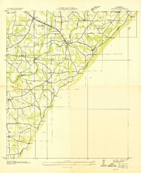
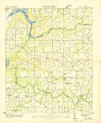
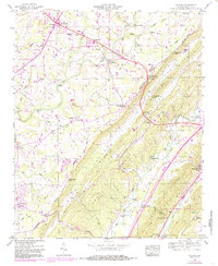
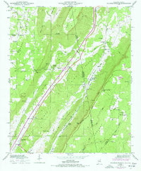
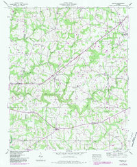
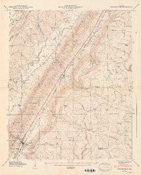
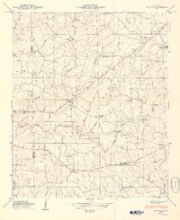
Editions of this 1946 Grove Oak Map
2 editions found
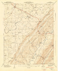
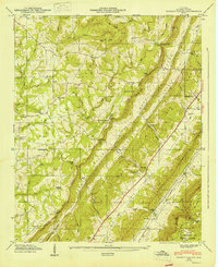
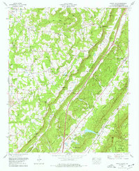
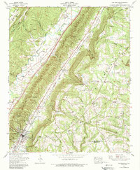
Historical Maps of Jackson County Through Time
22 maps found
1936 Chavies
DeKalb County, AL

1936 Dugout Valley
DeKalb County, AL
1936 Grove Oak
DeKalb County, AL

1936 Little Falls
DeKalb County, AL
1936 Painter
DeKalb County, AL
1936 Sulphur Springs
DeKalb County, AL
1946 Chavies
DeKalb County, AL
1946 Dugout Valley
DeKalb County, AL
1946 Grove Oak
DeKalb County, AL
1946 Portersville
DeKalb County, AL
1946 Sulphur Springs
DeKalb County, AL
1947 Chavies
DeKalb County, AL
1947 Dugout Valley
DeKalb County, AL
1947 Ft Payne
DeKalb County, AL
1947 Painter
DeKalb County, AL
1947 Portersville
DeKalb County, AL
1947 Sulphur Springs
DeKalb County, AL
1949 Grove Oak
DeKalb County, AL
1949 Painter
DeKalb County, AL
1975 Dugout Valley
DeKalb County, AL
1975 Portersville
DeKalb County, AL
1982 Sulphur Springs
DeKalb County, AL