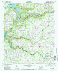
1946 Map of Grove Oak
USGS Topo · Published 1987About this map
Sand Mountain dominates this 1946 landscape, where the plateau's agricultural character is defined by a dense network of country churches like Piney Grove Ch, Prospect Ch, and New Harmony Ch. The terrain drops sharply into the deep gorges of Sauty Creek and its branches, which carve through the land at Bucks Pocket State Park. The rural community of Grove Oak serves as a central point for the surrounding highlands, while the southwestern edge of the map follows the winding course of Town Creek toward High Falls. The survey illustrates the stark contrast between the flat upland farming areas and the inaccessible ravines of the Little Sauty Creek and Middle Sauty Creek drainages. Numerous family-named points and coves, such as Godwin Point and Tucker Cove, reflect the long-standing settlement patterns of DeKalb and Marshall counties before late-century developments.
Find a feature on this map
50 named features on this map. Tap any name to fly to it.
Don’t see what you’re looking for? This feature index may not catch every label — zoom into the map to look around manually.
Map Details
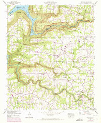
Editions of this 1946 Grove Oak Map
2 editions found
Other maps of this area

1885 · Gadsden
USGS Topo · 1:125,000

1886 · Stevenson
USGS Topo · 1:125,000

1888 · Gadsden
USGS Topo · 1:125,000

1888 · Scottsboro
USGS Topo · 1:125,000

1892 · Scottsboro
USGS Topo · 1:125,000

1892 · Stevenson
USGS Topo · 1:125,000

1892 · Gadsden
USGS Topo · 1:125,000

1893 · Fort Payne
USGS Topo · 1:125,000

1895 · Stevenson
USGS Topo · 1:125,000

1895 · Gadsden
USGS Topo · 1:125,000