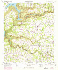
1946 Map of Grove Oak
USGS Topo · Published 1972About this map
Bucks Pocket carves a deep topographical impression across this landscape on the border of Marshall and DeKalb Counties. The Tennessee Valley Authority and USGS document a rural plateau defined by its relationship to Guntersville Lake and the winding course of Town Creek. This mid-century view captures a network of small upland communities like Grove Oak and South Hill, where social life centered on numerous country churches such as Prospect Ch and New Harmony Ch. The terrain is marked by prominent landmarks like High Falls and Point Rock, while the rugged shoreline of Guntersville State Park borders the water to the northwest. Land use is detailed through purple photogrammetric revisions from 1970, showing field lines and woodland changes over a generation of growth.
Find a feature on this map
54 named features on this map. Tap any name to fly to it.
Don’t see what you’re looking for? This feature index may not catch every label — zoom into the map to look around manually.
Map Details
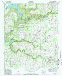
Editions of this 1946 Grove Oak Map
2 editions found
Other maps of this area

1885 · Gadsden
USGS Topo · 1:125,000

1886 · Stevenson
USGS Topo · 1:125,000

1888 · Gadsden
USGS Topo · 1:125,000

1888 · Scottsboro
USGS Topo · 1:125,000

1892 · Scottsboro
USGS Topo · 1:125,000

1892 · Stevenson
USGS Topo · 1:125,000

1892 · Gadsden
USGS Topo · 1:125,000

1893 · Fort Payne
USGS Topo · 1:125,000

1895 · Stevenson
USGS Topo · 1:125,000

1895 · Gadsden
USGS Topo · 1:125,000