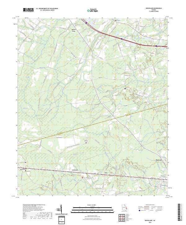
2024 Map of Groveland
USGS Topo · Published 2024About this map
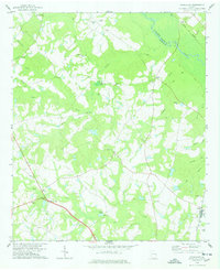
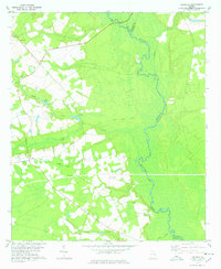
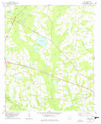
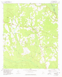
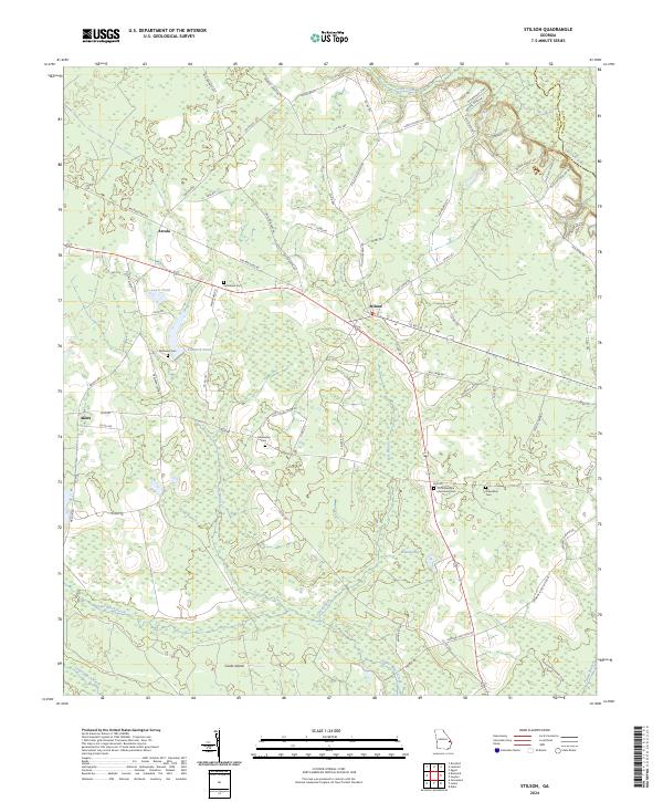
Mitchell Forks and the surrounding coastal plain of Bulloch and Bryan Counties are defined by a complex network of wetlands and intermittent watercourses. Low-lying terrain is punctuated by significant depressions such as Bulloch Bay, Bryan Bay, and Boggy Bay, which feed into drainage systems like Lake Swamp and Otter Hole Branch. This modern survey documents the persistent rural character of the region, where small settlements like Groveland, Reka, and Southward anchor a landscape of timber and agriculture.
Find a feature on this map
92 named features on this map. Tap any name to fly to it.
Don’t see what you’re looking for? This feature index may not catch every label — zoom into the map to look around manually.
Map Details
Editions of this 2024 Groveland Map
This is the sole edition of this map. No revisions or reprints were ever made.
Historical Maps of Mitchell Forks Through Time
13 maps found
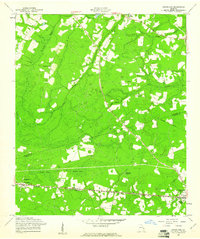
1958 Groveland
Bulloch County, GA
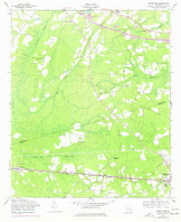
1976 Groveland
Bulloch County, GA
1978 Denmark
Bulloch County, GA
1978 Hopeulikit
Bulloch County, GA
1978 Leefield
Bulloch County, GA
1978 Nevils
Bulloch County, GA
1978 Stilson
Bulloch County, GA
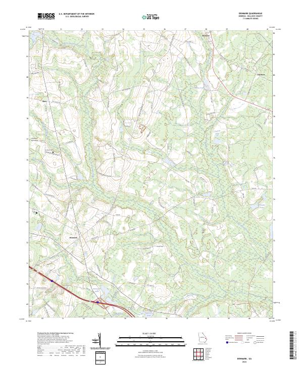
2024 Denmark
Bulloch County, GA
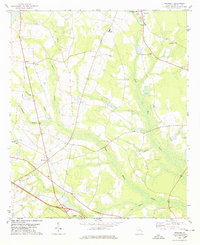
2024 Groveland
Bulloch County, GA
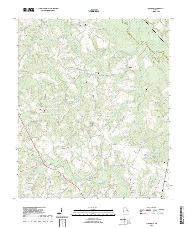
2024 Hopeulikit
Bulloch County, GA
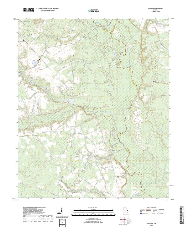
2024 Leefield
Bulloch County, GA
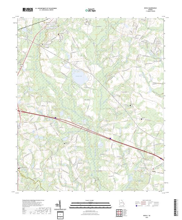
2024 Nevils
Bulloch County, GA
2024 Stilson
Bulloch County, GA