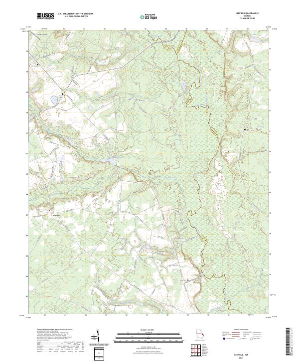
2024 Map of Leefield
USGS Topo · Published 2024About this map
The Ogeechee River defines the landscape of the Georgia low country, winding through the tri-county border of Bulloch, Screven, and Effingham. This modern survey illustrates the rural character of the region centered on Leefield, where family lineages are anchored by quiet landmarks like Mount Zion Cem and New Hope Cem. The area is characterized by slow-moving water systems, from Stokes Lake in the north to the bottomlands along Lanes Creek. Small private airstrips like Aubrey's Airpark and localized landings such as Shearouse Landing Rd reflect the way contemporary residents navigate this mix of timberland and agriculture. The map provides clear evidence of long-standing family ties to the land, preserved in road names and several small burial grounds including the Silas Morton Cem and Knight Cem.
Find a feature on this map
76 named features on this map. Tap any name to fly to it.
Don’t see what you’re looking for? This feature index may not catch every label — zoom into the map to look around manually.
Map Details
Editions of this 2024 Leefield Map
This is the sole edition of this map. No revisions or reprints were ever made.
Other maps of this area

1918 · Oliver
USGS Topo · 1:62,500

1919 · Shirley
USGS Topo · 1:62,500

1919 · Egypt
USGS Topo · 1:62,500

1920 · Oliver
USGS Topo · 1:62,500

1921 · Brooklet
USGS Topo · 1:62,500

1939 · Egypt
USGS Topo · 1:62,500

1943 · Brooklet
USGS Topo · 1:62,500

1943 · Egypt
USGS Topo · 1:62,500

1943 · Shirley
USGS Topo · 1:62,500

1943 · Millen
USGS Topo · 1:125,000