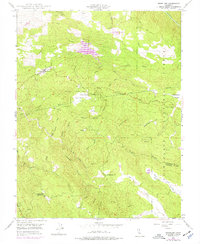
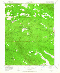
1947 Map of Groveland
USGS Topo · Published 1976About this map
Groveland stands as a focal point in this mountainous landscape within the Stanislaus National Forest, illustrating the transition from early mining and ranching to mid-century recreation. The map highlights the development of Pine Mountain Lake and its associated Pine Mountain Lake Airport and Golf Course, providing a clear record of 1970s land-use changes overlaid on a 1940s topographic foundation. Local history is deeply embedded in the terrain, from the legacy of the Bret Harte Cabin near Second Garrotte to industrial sites like the Red Jacket Mine and Kanaka Mine. The presence of the Hetch Hetchy Aqueduct and the Ponderosa Way firebreak demonstrates the vital role of water infrastructure and forestry management in the Sierra Nevada foothills during this era.
Find a feature on this map
46 named features on this map. Tap any name to fly to it.
Don’t see what you’re looking for? This feature index may not catch every label — zoom into the map to look around manually.
Map Details
Editions of this 1947 Groveland Map
4 editions found

Other maps of this area

1893 · Sonora
USGS Topo · 1:125,000

1896 · Sonora
USGS Topo · 1:125,000

1897 · Sonora
USGS Topo · 1:125,000

1898 · Sonora
USGS Topo · 1:125,000

1944 · Merced Falls
USGS Topo · 1:62,500

1947 · San Jose
USGS Topo · 1:250,000

1947 · Coulterville
USGS Topo · 1:62,500
1947 · Jawbone Ridge
USGS Topo · 1:24,000
1947 · Buckhorn Peak
USGS Topo · 1:24,000
1947 · Groveland
USGS Topo · 1:24,000