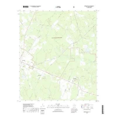
2019 Map of Groveton East
USGS Topo · Published 2019About this map
The timberlands of the Davy Crockett National Forest dominate the landscape of East Texas, where the Trinity County seat of Groveton transitions into a network of creek drainages and smaller rural settlements. This 2019 survey documents the enduring spatial layout of timber and agriculture, particularly near Josserand and Woodlake. These communities are defined by their proximity to significant water bodies like Piney Cr and Kickapoo Cr, while the presence of Sawmill Rd points to the area's deep-rooted logging history.
Find a feature on this map
54 named features on this map. Tap any name to fly to it.
Don’t see what you’re looking for? This feature index may not catch every label — zoom into the map to look around manually.
Map Details
Editions of this 2019 Groveton East Map
This is the sole edition of this map. No revisions or reprints were ever made.
Other maps of this area

1953 · Palestine
USGS Topo · 1:250,000

1954 · Beaumont
USGS Topo · 1:250,000
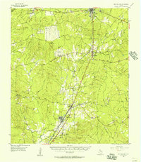
1955 · New Willard
USGS Topo · 1:62,500

1957 · Beaumont
USGS Topo · 1:250,000

1957 · Palestine
USGS Topo · 1:250,000
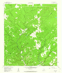
1960 · Colita
USGS Topo · 1:24,000
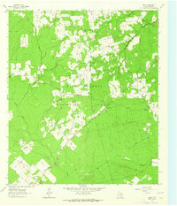
1963 · Crecy
USGS Topo · 1:24,000
1963 · Groveton West
USGS Topo · 1:24,000
1963 · Pennington
USGS Topo · 1:24,000
1963 · Groveton East
USGS Topo · 1:24,000