
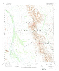
1964 Map of Growler Peak
USGS Topo · Published 1965About this map
The Growler Range dominates this mid-century desert landscape, where water sources like Charlie Bell Wells and Salt Well provided essential survival points in an arid environment. Managed largely as part of the Luke Air Force Range and the Cabeza Prieta Game Range, the area remains characterized by isolated mountain peaks and expansive drainage systems. The presence of Growler Wash and Daniels Wash highlights the natural corridors that cross the terrain, while landmarks such as Sheep Peak and Growler Peak serve as primary navigational anchors. Human presence is sparse, marked by a few utility points like Saguaro Gap Well and Lower Well, alongside a lone Landing Strip. This survey captures the transition of the region into a strictly managed military and conservation territory, preserving the topographical relationship between the Pryeta Mountains and the surrounding desert floor before contemporary shifts in land use.
Find a feature on this map
25 named features on this map. Tap any name to fly to it.
Don’t see what you’re looking for? This feature index may not catch every label — zoom into the map to look around manually.
Map Details
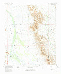
Editions of this 1964 Growler Peak Map
3 editions found
Other maps of this area

1927 · Aguila Mountains
USGS Topo · 1:48,000

1930 · Aguila Mountains
USGS Topo · 1:62,500

1932 · Ajo
USGS Topo · 1:62,500

1934 · Ajo
USGS Topo · 1:62,500

1953 · Ajo
USGS Topo · 1:250,000

1957 · Ajo
USGS Topo · 1:250,000

1958 · Ajo
USGS Topo · 1:250,000

1958 · Midway
USGS Topo · 1:62,500

1962 · Ajo
USGS Topo · 1:250,000

1963 · Ajo
USGS Topo · 1:250,000