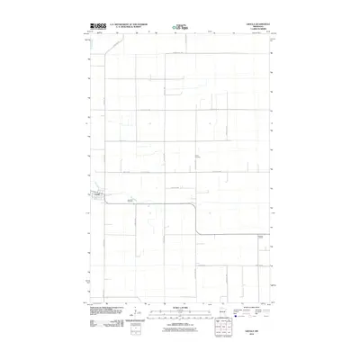
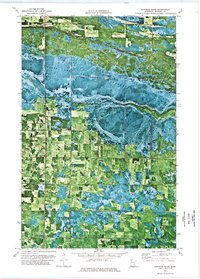
2010 Map of Grygla
USGS Topo · Published 2010About this map
Grygla sits at the intersection of a rigid agricultural grid and the winding course of the Mud River, serving as the primary hub for this portion of Marshall County. The landscape is defined by long, straight section roads such as Benwood Rd NW and Settler Rd NW, reflecting the late-era persistence of the homesteading patterns that shaped northern Minnesota. Genealogy researchers will find several well-placed burial grounds including Saint Olaf Cemetery just east of the main settlement and Valley Cemetery to the north along Flintlock Rd NW. The map illustrates a rural economy organized around these transport corridors, with Bethesda Cemetery marking a further point of community history on the eastern edge of the quadrangle near Dyrseth Rd NW.
Find a feature on this map
19 named features on this map. Tap any name to fly to it.
Don’t see what you’re looking for? This feature index may not catch every label — zoom into the map to look around manually.
Map Details
Editions of this 2010 Grygla Map
This is the sole edition of this map. No revisions or reprints were ever made.
Other maps of this area

1918 · Malcolm
USGS Topo · 1:62,500

1918 · Jelle
USGS Topo · 1:62,500

1919 · Liner
USGS Topo · 1:62,500

1954 · Roseau
USGS Topo · 1:250,000

1957 · Roseau
USGS Topo · 1:250,000

1958 · Roseau
USGS Topo · 1:250,000
1973 · Grygla
USGS Topo · 1:24,000
1973 · Grygla SW
USGS Topo · 1:24,000
1973 · Erie NE
USGS Topo · 1:24,000
1973 · Randeen Ridge
USGS Topo · 1:24,000