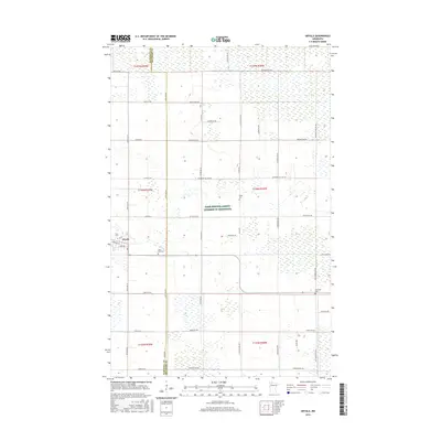
2016 Map of Grygla
USGS Topo · Published 2016About this map
The small community of Grygla anchors this 2016 survey along the border of Marshall and Beltrami counties. The landscape is characterized by the meandering path of the Mud River and an extensive grid of section roads that serve a deeply rooted agricultural and conservation region. A significant portion of the area is designated as Farm Service Agency - Interest of Minnesota, reflecting the state's active role in land and wildlife management. Local heritage is preserved at sites like Saint Olaf Cem and Valley Cem, while thoroughfares such as Co Hwy 55 and Benville Rd NW connect the scattered farmsteads. The nomenclature of the roads, including Blueberry Hill Rd NW and Log Church Rd NW, provides a glimpse into the local landmarks and terrain features that have defined the community for generations.
Find a feature on this map
48 named features on this map. Tap any name to fly to it.
Don’t see what you’re looking for? This feature index may not catch every label — zoom into the map to look around manually.
Map Details
Editions of this 2016 Grygla Map
This is the sole edition of this map. No revisions or reprints were ever made.
Other maps of this area
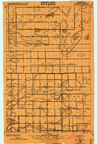
1918 · Malcolm
USGS Topo · 1:62,500
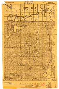
1918 · Jelle
USGS Topo · 1:62,500
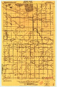
1919 · Liner
USGS Topo · 1:62,500
1954 · Roseau
USGS Topo · 1:250,000
1957 · Roseau
USGS Topo · 1:250,000
1958 · Roseau
USGS Topo · 1:250,000
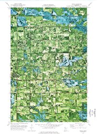
1973 · Grygla
USGS Topo · 1:24,000
1973 · Grygla SW
USGS Topo · 1:24,000
1973 · Erie NE
USGS Topo · 1:24,000
1973 · Randeen Ridge
USGS Topo · 1:24,000