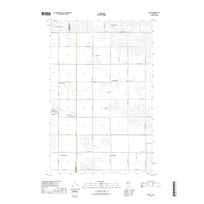
2019 Map of Grygla
USGS Topo · Published 2019About this map
Grygla serves as the primary settlement on this portion of the Minnesota prairie, situated at the junction of Co Hwy 55 and several rural routes. The landscape is characterized by a low-lying, water-rich environment where the Mud River meanders through the township. This modern survey illustrates the organized grid of the Public Land Survey System, with roads such as Blueberry Hill Rd NW and Settler Rd NW following section lines across the marshy terrain. Genealogists will find a cluster of burial sites near the town center, including Saint Clement Catholic Cem and Saint Olaf Cem, while Valley Cem and Bethesda Cem are located further afield in the surrounding townships. The boundary between Marshall Co and Beltrami Co bisects the map, showing how regional jurisdiction aligns with the local road network.
Find a feature on this map
37 named features on this map. Tap any name to fly to it.
Don’t see what you’re looking for? This feature index may not catch every label — zoom into the map to look around manually.
Map Details
Editions of this 2019 Grygla Map
This is the sole edition of this map. No revisions or reprints were ever made.
Other maps of this area
1918 · Malcolm
USGS Topo · 1:62,500
1918 · Jelle
USGS Topo · 1:62,500
1919 · Liner
USGS Topo · 1:62,500
1954 · Roseau
USGS Topo · 1:250,000
1957 · Roseau
USGS Topo · 1:250,000
1958 · Roseau
USGS Topo · 1:250,000
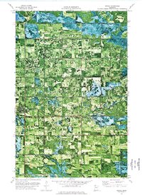
1973 · Grygla
USGS Topo · 1:24,000
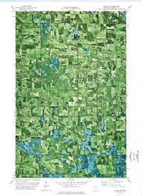
1973 · Grygla SW
USGS Topo · 1:24,000
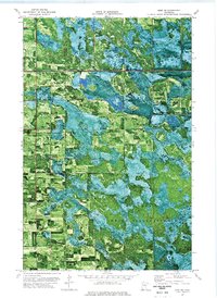
1973 · Erie NE
USGS Topo · 1:24,000
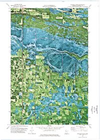
1973 · Randeen Ridge
USGS Topo · 1:24,000