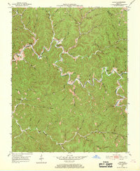
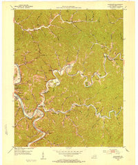
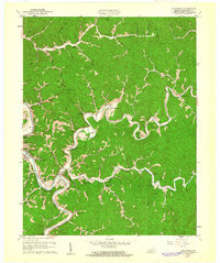
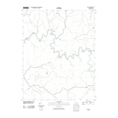
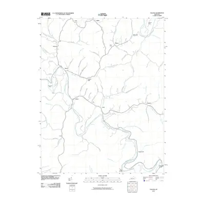
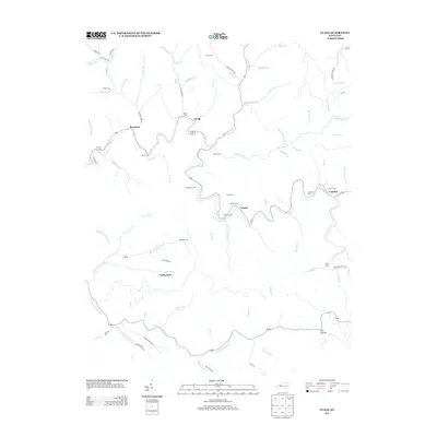
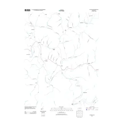
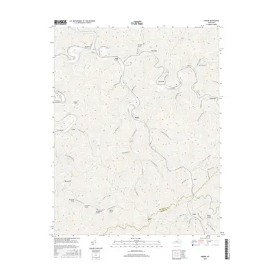
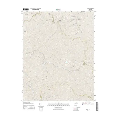
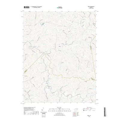
1951 Map of Guage
USGS Topo · Published 1969About this map
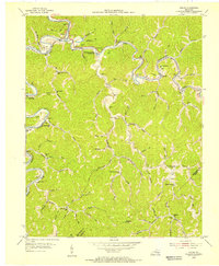
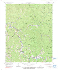
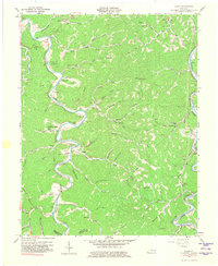
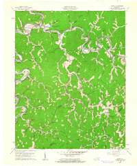
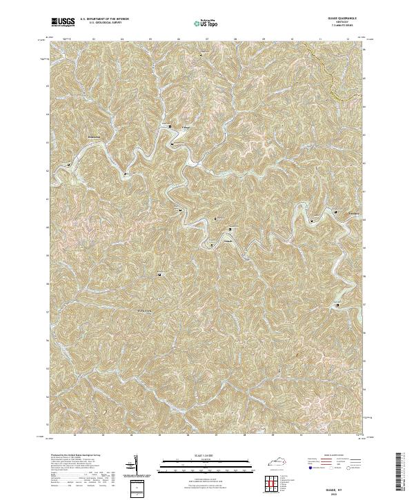
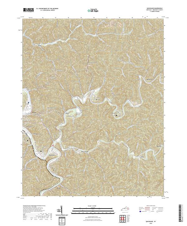
Quicksand Creek carves a winding path through this portion of Breathitt and Magoffin counties, dictating the placement of early mountain settlements and family enclaves. Tiny communities such as Guage, Lunah, and Lambric are tucked into the narrow valleys where side branches meet the main watercourse. The map reveals a high density of rural institutions essential to these isolated hollows, including Big Caney Ch, Camp Lewis, and several neighborhood schools like Richie Sch and Wolf Creek Sch. For genealogists, the landscape is dotted with small family burial grounds, such as Roark Cem, Clemons Cem, and Shack Allen Cem, many of which remain tucked away on steep hillsides overlooking the creek forks. This 1950s record documents the traditional settlement patterns of the Eastern Kentucky coalfields before major modern infrastructure changes.
Find a feature on this map
86 named features on this map. Tap any name to fly to it.
Don’t see what you’re looking for? This feature index may not catch every label — zoom into the map to look around manually.
Map Details
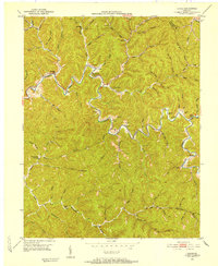
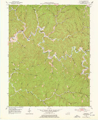
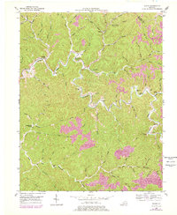
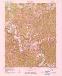
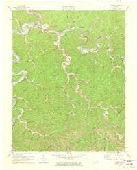
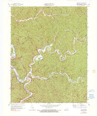
Editions of this 1951 Guage Map
4 editions found
Historical Maps of Rousseau Through Time
48 maps found
1951 Guage
Breathitt County, KY
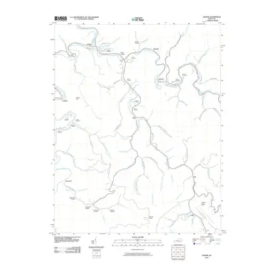
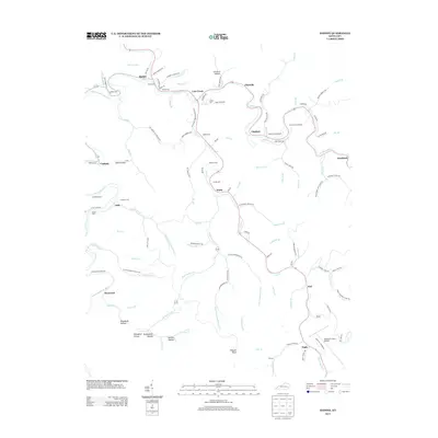
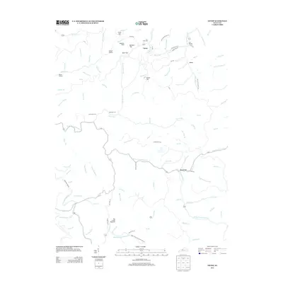
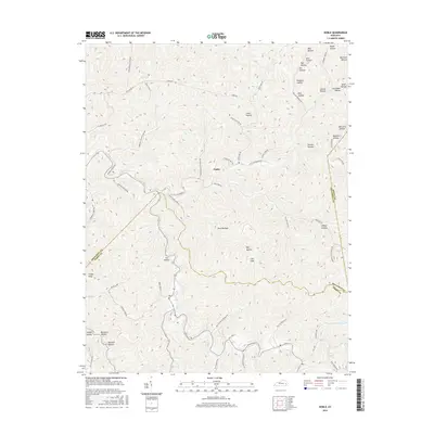
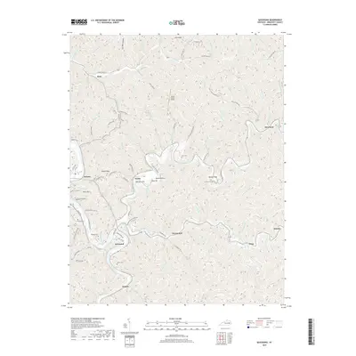
1951 Quicksand
Breathitt County, KY
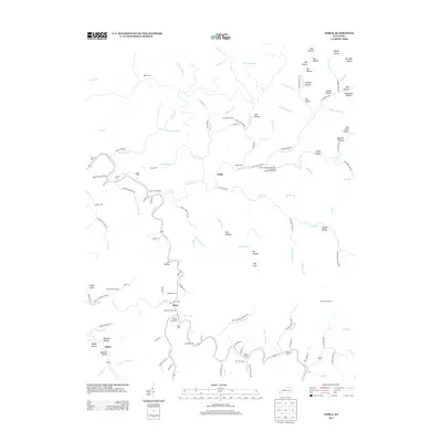
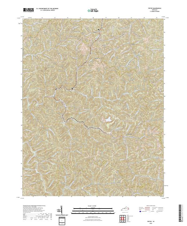
1951 Tiptop
Breathitt County, KY
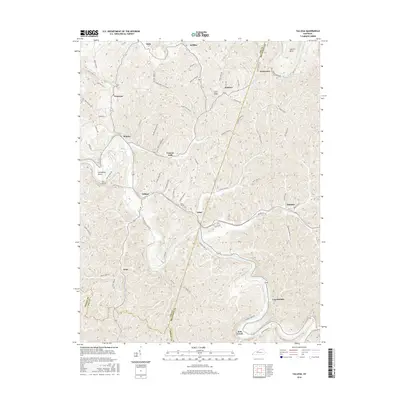
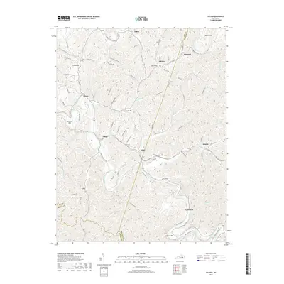
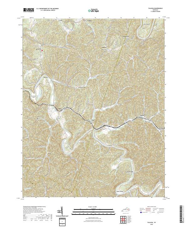
1952 Tallega
Breathitt County, KY
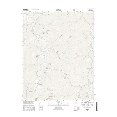
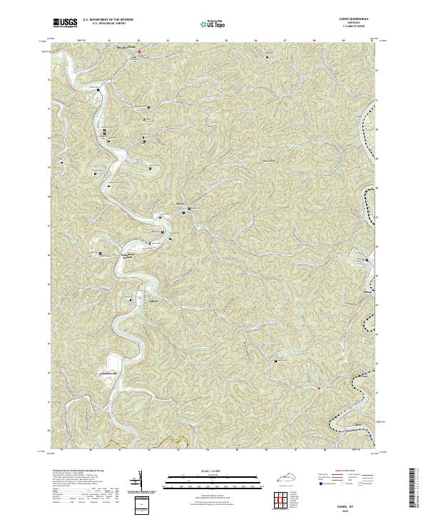
1954 Canoe
Breathitt County, KY
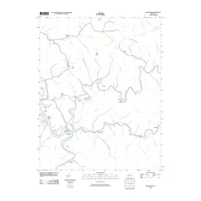
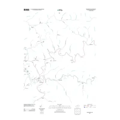
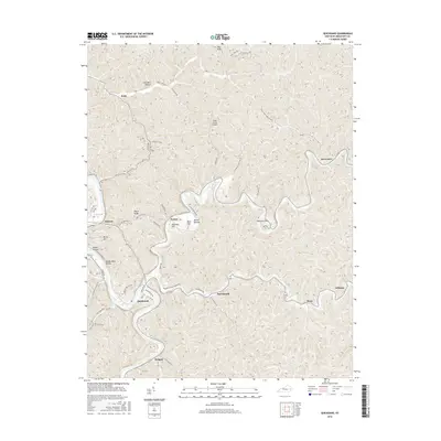
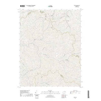
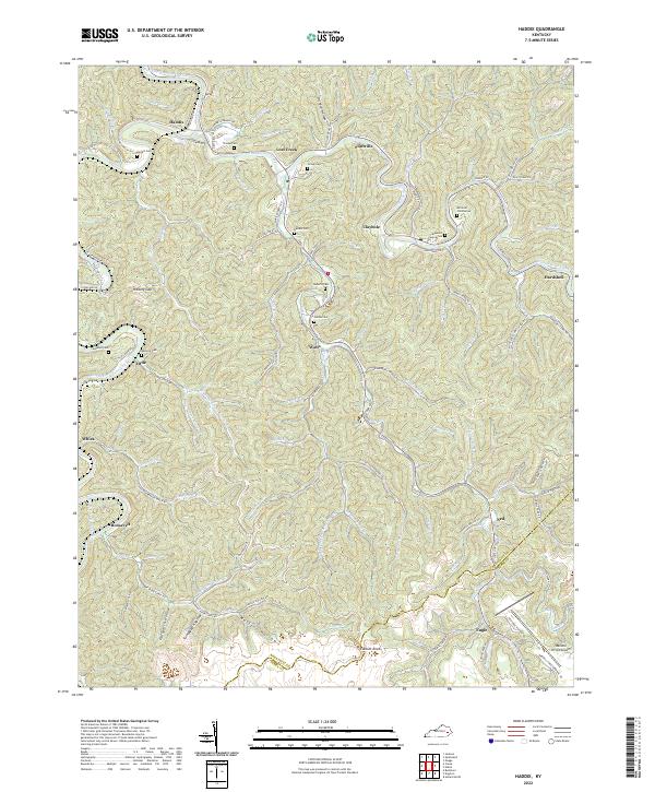
1954 Haddix
Breathitt County, KY
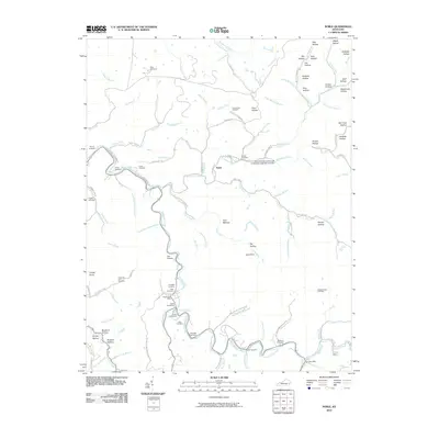
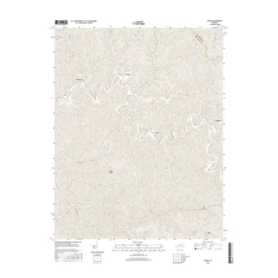
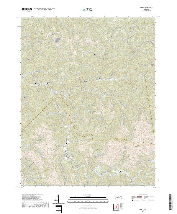
1954 Noble
Breathitt County, KY
1961 Canoe
Breathitt County, KY
1961 Haddix
Breathitt County, KY
1961 Quicksand
Breathitt County, KY
1961 Tallega
Breathitt County, KY
1972 Haddix
Breathitt County, KY
1972 Quicksand
Breathitt County, KY
2010 Guage
Breathitt County, KY
2010 Haddix
Breathitt County, KY
2010 Noble
Breathitt County, KY
2010 Quicksand
Breathitt County, KY
2010 Tallega
Breathitt County, KY
2010 Tiptop
Breathitt County, KY
2011 Canoe
Breathitt County, KY
2013 Canoe
Breathitt County, KY
2013 Guage
Breathitt County, KY
2013 Haddix
Breathitt County, KY
2013 Noble
Breathitt County, KY
2013 Quicksand
Breathitt County, KY
2013 Tallega
Breathitt County, KY
2013 Tiptop
Breathitt County, KY
2016 Canoe
Breathitt County, KY
2016 Guage
Breathitt County, KY
2016 Haddix
Breathitt County, KY
2016 Noble
Breathitt County, KY
2016 Quicksand
Breathitt County, KY
2016 Tallega
Breathitt County, KY
2016 Tiptop
Breathitt County, KY
2019 Canoe
Breathitt County, KY
2019 Guage
Breathitt County, KY
2019 Haddix
Breathitt County, KY
2019 Noble
Breathitt County, KY
2019 Quicksand
Breathitt County, KY
2019 Tallega
Breathitt County, KY
2019 Tiptop
Breathitt County, KY
2022 Canoe
Breathitt County, KY
2022 Guage
Breathitt County, KY
2022 Haddix
Breathitt County, KY
2022 Noble
Breathitt County, KY
2022 Quicksand
Breathitt County, KY
2022 Tallega
Breathitt County, KY
2022 Tiptop
Breathitt County, KY