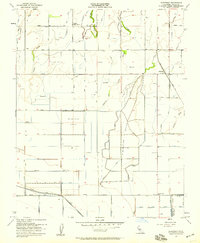
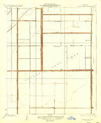
1954 Map of Guernsey
USGS Topo · Published 1959About this map
Guernsey sits at the intersection of the Atchison Topeka and Santa Fe railroad and Kansas Ave, serving as a central point for this mid-1950s agricultural landscape. The region is defined by a complex network of hydrological engineering, where natural drainage features like Sand Slough and Lone Oak Slough have been integrated into a grid of irrigation canals and extensive Percolation Basins. This system supported the transition of the San Joaquin Valley floor into a highly managed landscape of industrial farming.
Find a feature on this map
22 named features on this map. Tap any name to fly to it.
Don’t see what you’re looking for? This feature index may not catch every label — zoom into the map to look around manually.
Map Details
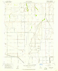
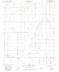
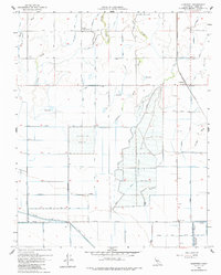
Editions of this 1954 Guernsey Map
4 editions found
Other maps of this area

1926 · Hanford
USGS Topo · 1:31,680

1927 · Remnoy
USGS Topo · 1:31,680

1927 · Lemoore
USGS Topo · 1:31,680

1928 · Waukena
USGS Topo · 1:31,680

1928 · Corcoran
USGS Topo · 1:31,680

1929 · Guernsey
USGS Topo · 1:31,680

1929 · Stratford
USGS Topo · 1:31,680

1932 · El Rico Ranch
USGS Topo · 1:31,680

1933 · Chatom Ranch
USGS Topo · 1:31,680
1935 · Chatom Ranch
USGS Topo · 1:31,680