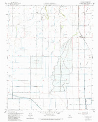
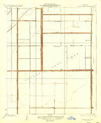
1954 Map of Guernsey
USGS Topo · Published 1986About this map
Agricultural development and water management define this Kings County landscape during the mid-1950s. The Atchison Topeka and Santa Fe railroad serves the settlement of Guernsey, which stands as a primary focal point amidst a complex network of irrigation and drainage features. The transition from natural waterways to engineered systems is evident in the presence of extensive Percolation Basins and the structured path of Guernsey Slough.
Find a feature on this map
22 named features on this map. Tap any name to fly to it.
Don’t see what you’re looking for? This feature index may not catch every label — zoom into the map to look around manually.
Map Details
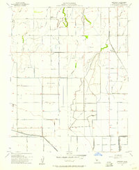
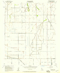
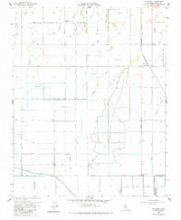
Editions of this 1954 Guernsey Map
4 editions found
Other maps of this area

1926 · Hanford
USGS Topo · 1:31,680

1927 · Remnoy
USGS Topo · 1:31,680

1927 · Lemoore
USGS Topo · 1:31,680

1928 · Waukena
USGS Topo · 1:31,680

1928 · Corcoran
USGS Topo · 1:31,680

1929 · Guernsey
USGS Topo · 1:31,680

1929 · Stratford
USGS Topo · 1:31,680

1932 · El Rico Ranch
USGS Topo · 1:31,680

1933 · Chatom Ranch
USGS Topo · 1:31,680
1935 · Chatom Ranch
USGS Topo · 1:31,680