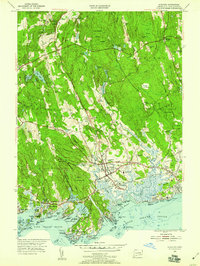
1954 Map of Guilford
USGS Topo · Published 1959About this map
The town of Guilford anchors this coastal survey, where the terrestrial landscape meets the complex shoreline of Long Island Sound. The map reveals a mid-century balance between the established village center and the outlying hamlets of North Guilford and North Madison. Transportation is a defining feature, with the New York New Haven and Hartford railroad and the Boston Post Road cutting through the southern portion of the quadrangle, serving the Guilford Station.
Find a feature on this map
84 named features on this map. Tap any name to fly to it.
Don’t see what you’re looking for? This feature index may not catch every label — zoom into the map to look around manually.
Map Details
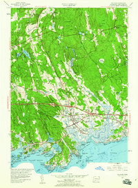
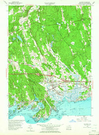
Editions of this 1954 Guilford Map
4 editions found
Other maps of this area

1892 · New Haven
USGS Topo · 1:62,500

1893 · Guilford
USGS Topo · 1:62,500

1921 · New Haven
USGS Topo · 1:62,500

1943 · Durham
USGS Topo · 1:25,000

1947 · Hartford
USGS Topo · 1:250,000

1948 · Hartford
USGS Topo · 1:250,000

1951 · Clinton
USGS Topo · 1:31,680

1952 · Haddam
USGS Topo · 1:31,680

1953 · Durham
USGS Topo · 1:31,680

1954 · Guilford
USGS Topo · 1:31,680