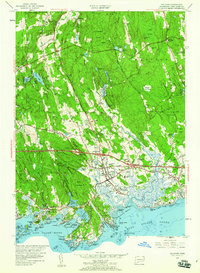
1954 Map of Guilford
USGS Topo · Published 1960About this map
The town of Guilford and its surrounding coastal hamlets are documented during a transformative mid-century period as the modern highway system begins to overlay the older colonial and industrial landscape. The arrival of the Connecticut Turnpike, noted with several major interchanges, cuts across a territory previously defined by the Boston Post Road and the New York New Haven and Hartford Railroad. Along the shoreline, the map details a complex network of points and islands including Sachem Head, Leetes Island, and the cluster of the Thimble Islands near Stony Creek. Inland, the massive expanse of the Cockaponset State Forest dominates the northern uplands, bordering small settlements like North Madison and Nut Plains. Local institutions such as the Calvin Leete Sch, the St John Cem, and the village-centered Guilford Sta provide essential points of reference for genealogists tracing family roots in this New Haven County coastal region.
Find a feature on this map
101 named features on this map. Tap any name to fly to it.
Don’t see what you’re looking for? This feature index may not catch every label — zoom into the map to look around manually.
Map Details
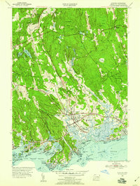
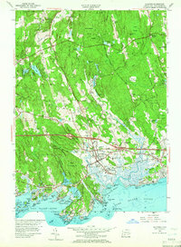
Editions of this 1954 Guilford Map
4 editions found
Other maps of this area

1892 · New Haven
USGS Topo · 1:62,500

1893 · Guilford
USGS Topo · 1:62,500

1921 · New Haven
USGS Topo · 1:62,500

1943 · Durham
USGS Topo · 1:25,000

1947 · Hartford
USGS Topo · 1:250,000

1948 · Hartford
USGS Topo · 1:250,000

1951 · Clinton
USGS Topo · 1:31,680

1952 · Haddam
USGS Topo · 1:31,680

1953 · Durham
USGS Topo · 1:31,680

1954 · Guilford
USGS Topo · 1:31,680