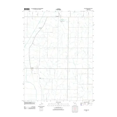
2011 Map of Guilford
USGS Topo · Published 2011About this map
Guilford stands at the heart of this Missouri landscape, where the Platte River meanders south toward the county line. The map highlights a predominantly agricultural and spiritual environment, characterized by the presence of the Monastery and nearby Conception. These settlements are linked by a network of rural routes such as Mercury Rd and Mint Rd, reflecting a long-standing pattern of homesteads and small-town Missouri life. To the northeast, the Conception Abbey Reservoir and Conception Abbey Dam mark a significant intersection of the local water system and ecclesiastical history.
Find a feature on this map
31 named features on this map. Tap any name to fly to it.
Don’t see what you’re looking for? This feature index may not catch every label — zoom into the map to look around manually.
Map Details
Editions of this 2011 Guilford Map
This is the sole edition of this map. No revisions or reprints were ever made.
Other maps of this area

1925 · Stanberry
USGS Topo · 1:62,500

1927 · Bolckow
USGS Topo · 1:62,500

1939 · Stanberry
USGS Topo · 1:62,500

1940 · Parnell
USGS Topo · 1:62,500

1943 · Parnell
USGS Topo · 1:62,500

1943 · Maryville
USGS Topo · 1:62,500

1943 · Stanberry
USGS Topo · 1:62,500

1945 · Bolckow
USGS Topo · 1:62,500

1955 · Nebraska City
USGS Topo · 1:250,000

1957 · Nebraska City
USGS Topo · 1:250,000