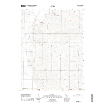
2017 Map of Guilford
USGS Topo · Published 2017About this map
The Platte River meanders through the western portion of this Northwest Missouri landscape, defining the topography near the settlement of Guilford. This 2017 survey highlights the area's spiritual and educational anchor at Conception, featuring the Conception Seminary Coll and the nearby Conception Abbey Reservoir. The terrain is characterized by a dense network of creek drainages, including Clear Cr, Turkey Cr, and Long Br, which have shaped the rural road grid.
Find a feature on this map
46 named features on this map. Tap any name to fly to it.
Don’t see what you’re looking for? This feature index may not catch every label — zoom into the map to look around manually.
Map Details
Editions of this 2017 Guilford Map
This is the sole edition of this map. No revisions or reprints were ever made.
Other maps of this area

1925 · Stanberry
USGS Topo · 1:62,500

1927 · Bolckow
USGS Topo · 1:62,500

1939 · Stanberry
USGS Topo · 1:62,500

1940 · Parnell
USGS Topo · 1:62,500

1943 · Parnell
USGS Topo · 1:62,500

1943 · Maryville
USGS Topo · 1:62,500

1943 · Stanberry
USGS Topo · 1:62,500

1945 · Bolckow
USGS Topo · 1:62,500

1955 · Nebraska City
USGS Topo · 1:250,000

1957 · Nebraska City
USGS Topo · 1:250,000