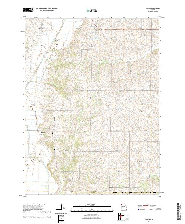
2021 Map of Guilford
USGS Topo · Published 2021About this map
The Platte River winds through this rural landscape in Nodaway County, anchoring the small communities of Guilford and Conception. In the northeast, the presence of Conception Seminary College and the adjacent Saint Columba Cem points to the area's deep-rooted religious and educational foundations. The terrain is marked by a network of local creeks, including Clear Cr, Turkey Cr, and Oldtown Cr, which drain the agricultural uplands into the river valley. Genealogists will find several burial grounds across the township, such as Weathermon Cem and Groves Cem, often located near historical homesteads and rural crossroads. The Conception Abbey Reservoir serves as a localized water feature near the college, while a grid of roads like State Hwy VV and State Hwy M connects the disparate farmsteads and small settlements that define the region's mid-century character.
Find a feature on this map
44 named features on this map. Tap any name to fly to it.
Don’t see what you’re looking for? This feature index may not catch every label — zoom into the map to look around manually.
Map Details
Editions of this 2021 Guilford Map
This is the sole edition of this map. No revisions or reprints were ever made.
Other maps of this area

1925 · Stanberry
USGS Topo · 1:62,500

1927 · Bolckow
USGS Topo · 1:62,500

1939 · Stanberry
USGS Topo · 1:62,500

1940 · Parnell
USGS Topo · 1:62,500

1943 · Parnell
USGS Topo · 1:62,500

1943 · Maryville
USGS Topo · 1:62,500

1943 · Stanberry
USGS Topo · 1:62,500

1945 · Bolckow
USGS Topo · 1:62,500

1955 · Nebraska City
USGS Topo · 1:250,000

1957 · Nebraska City
USGS Topo · 1:250,000