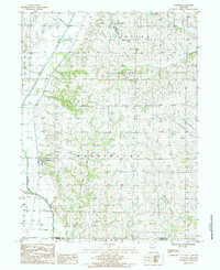
1985 Map of Guilford
USGS Topo · Published 1985About this map
Guilford sits along the western bank of the Platte River, serving as a central hub for the surrounding agricultural townships of Washington, Jefferson, Platte, and Grant during the early 1980s. The landscape is defined by the broad river valley and its numerous tributaries, including Long Branch and Clear Creek. This 1985 provisional survey captures the transition of the local infrastructure, noting several sand areas along the riverbanks and a modern Sewage Disposal Pond near the northern border.
Find a feature on this map
18 named features on this map. Tap any name to fly to it.
Don’t see what you’re looking for? This feature index may not catch every label — zoom into the map to look around manually.
Map Details
Editions of this 1985 Guilford Map
This is the sole edition of this map. No revisions or reprints were ever made.
Other maps of this area

1925 · Stanberry
USGS Topo · 1:62,500

1927 · Bolckow
USGS Topo · 1:62,500

1939 · Stanberry
USGS Topo · 1:62,500

1940 · Parnell
USGS Topo · 1:62,500

1943 · Parnell
USGS Topo · 1:62,500

1943 · Maryville
USGS Topo · 1:62,500

1943 · Stanberry
USGS Topo · 1:62,500

1945 · Bolckow
USGS Topo · 1:62,500

1955 · Nebraska City
USGS Topo · 1:250,000

1957 · Nebraska City
USGS Topo · 1:250,000