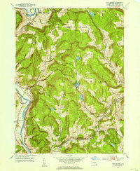
1952 Map of Gulf Summit
USGS Topo · Published 1954About this map
The Susquehanna River defines the western edge of this territory, winding through the valley where settlements like East Windsor and South Windsor took root. In the early 1950s, this landscape was dominated by the parallel transit corridors of the Delaware and Hudson and Erie railroads, which carved paths through the high terrain to reach the critical pass at Gulf Summit. This high point served as a vital railway junction, supported by local institutions like the Gulf Summit Ch.
Find a feature on this map
27 named features on this map. Tap any name to fly to it.
Don’t see what you’re looking for? This feature index may not catch every label — zoom into the map to look around manually.
Map Details
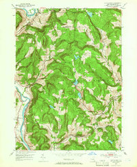
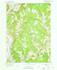
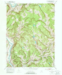
Editions of this 1952 Gulf Summit Map
4 editions found
Other maps of this area

1905 · Nineveh
USGS Topo · 1:62,500

1924 · Starrucca
USGS Topo · 1:48,000

1924 · Deposit
USGS Topo · 1:62,500

1926 · Deposit
USGS Topo · 1:62,500

1926 · Starrucca
USGS Topo · 1:62,500

1930 · Starrucca
USGS Topo · 1:48,000

1932 · Susquehanna
USGS Topo · 1:62,500

1933 · Starrucca
USGS Topo · 1:62,500

1935 · Susquehanna
USGS Topo · 1:62,500

1943 · Honesdale
USGS Topo · 1:125,000