
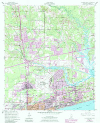
1954 Map of Gulfport North
USGS Topo · Published 1958About this map
The coastal corridor of Harrison County is defined here by the meeting of established rail lines and the winding waterways of the Mississippi Sound. While Gulfport serves as the primary urban hub, the interior landscape is shaped by the Illinois Central and Louisville and Nashville railroads, which facilitated the region's timber and transit industries. Significant institutional presence is noted at the Veterans Hospital and the U S Naval Reservation, reflecting the mid-century federal footprint along the Gulf Coast.
Find a feature on this map
45 named features on this map. Tap any name to fly to it.
Don’t see what you’re looking for? This feature index may not catch every label — zoom into the map to look around manually.
Map Details
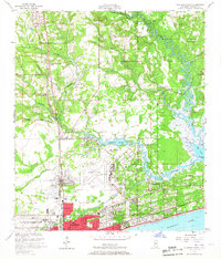
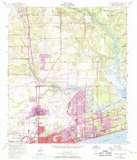
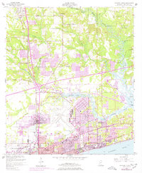
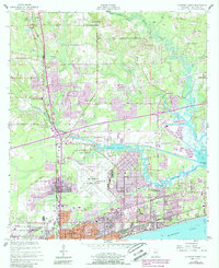
Editions of this 1954 Gulfport North Map
6 editions found
Other maps of this area

1953 · Mobile
USGS Topo · 1:250,000

1954 · Vestry
USGS Topo · 1:62,500

1954 · McHenry
USGS Topo · 1:62,500

1954 · Gulfport South
USGS Topo · 1:24,000

1954 · Biloxi
USGS Topo · 1:24,000

1954 · Biloxi
USGS Topo · 1:62,500

1955 · Pass Christian
USGS Topo · 1:24,000

1956 · Gulfport NW
USGS Topo · 1:24,000

1957 · Mobile
USGS Topo · 1:250,000

1960 · Mobile
USGS Topo · 1:250,000