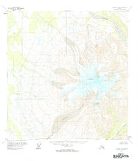
1959 Map of Gulkana A-2
USGS Topo · Published 1984About this map
Mount Drum dominates this high-altitude landscape, serving as the central hub from which numerous glacial systems and river headwaters radiate. The massive Nadina Glacier flows southwest from the peak's ice-covered slopes, feeding into the Nadina River as it descends toward the lowlands. This survey illustrates a pristine subarctic environment during the late 1950s, characterized by the absence of permanent human infrastructure or established roads. To the north, the Sanford River cuts through the glacial outwash, while the southeastern corner is defined by the high point of Snider Peak and the drainage of the Dadina River. The map provides a precise record of glacial extent and alpine topography as documented by the Geological Survey using photogrammetric methods from aerial photography taken in 1955 and 1957.
Find a feature on this map
7 named features on this map. Tap any name to fly to it.
Don’t see what you’re looking for? This feature index may not catch every label — zoom into the map to look around manually.
Map Details
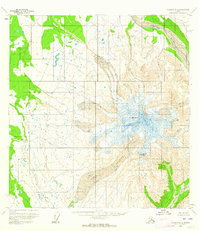
Editions of this 1959 Gulkana A-2 Map
2 editions found
Other maps of this area

1949 · Gulkana A-3
USGS Topo · 1:63,360

1949 · Gulkana B-2
USGS Topo · 1:63,360

1950 · Gulkana B-3
USGS Topo · 1:63,360

1951 · Gulkana
USGS Topo · 1:250,000

1952 · Gulkana A-3
USGS Topo · 1:63,360

1952 · Valdez
USGS Topo · 1:250,000

1952 · Gulkana B-3
USGS Topo · 1:63,360

1952 · Gulkana B-2
USGS Topo · 1:63,360

1958 · Valdez D-3
USGS Topo · 1:63,360

1959 · Gulkana B-1
USGS Topo · 1:63,360