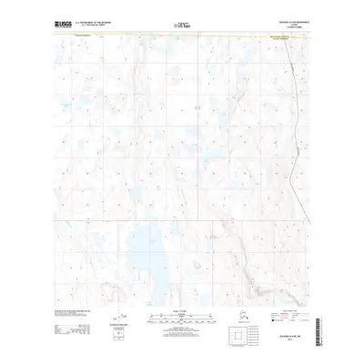
2013 Map of Gulkana A-6 NE
USGS Topo · Published 2013About this map
Old Man Lake and a series of smaller glacial water bodies dominate this interior Alaskan landscape along the border of the Matanuska-Susitna and Valdez-Cordova census areas. The map reveals a complex hydrography defined by clusters of lakes including Loon Lake, Cottonwood Lake, and Bobs Lake, connected by drainage systems like Mendeltna Cr. In a region largely devoid of significant infrastructure, the presence of Lake Louise Rd on the eastern edge indicates the primary corridor for human movement and access to this aquatic environment. The terrain is characterized by intricate contour patterns that suggest a subtly varied topography common to lake-dotted basins, where small changes in elevation dictate the flow of water between Judd Lake and Peanut Lake.
Find a feature on this map
10 named features on this map. Tap any name to fly to it.
Don’t see what you’re looking for? This feature index may not catch every label — zoom into the map to look around manually.
Map Details
Editions of this 2013 Gulkana A-6 NE Map
This is the sole edition of this map. No revisions or reprints were ever made.
Other maps of this area
1949 · Gulkana A-5
USGS Topo · 1:63,360
1949 · Gulkana A-6
USGS Topo · 1:63,360
1950 · Gulkana B-6
USGS Topo · 1:63,360
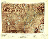
1951 · Gulkana
USGS Topo · 1:250,000
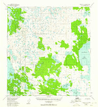
1951 · Gulkana B-5
USGS Topo · 1:63,360
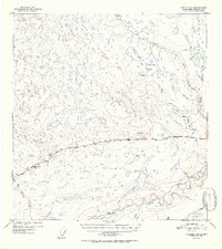
1952 · Gulkana A-5
USGS Topo · 1:63,360
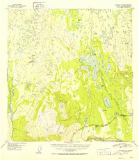
1952 · Gulkana A-6
USGS Topo · 1:63,360
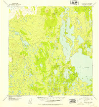
1952 · Gulkana B-6
USGS Topo · 1:63,360
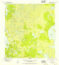
1952 · Gulkana B-5
USGS Topo · 1:63,360
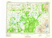
1959 · Gulkana
USGS Topo · 1:250,000