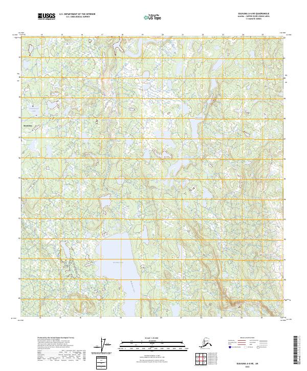
2023 Map of Gulkana A-6 NE
USGS Topo · Published 2023About this map
Mendeltna serves as the focal point for this interior Alaskan landscape, characterized by an extensive network of lakes and wetlands north of the Glenn Highway. The hydrology is dominated by Old Man Lake and the winding course of Mendeltna Creek, which flows south through a mosaic of small ponds and marshes. This area, surveyed recently, shows the persistence of the traditional transportation corridor along Lake Louise Road, providing access to the more remote water bodies in the northeast. The map provides a clear look at the intricate drainage patterns of the Copper River Basin, including Cottonwood Lake, Loon Lake, and Bobs Lake. The landscape remains largely undeveloped, defined by its natural water features and the township boundaries of T5N R8W and T4N R7W.
Find a feature on this map
11 named features on this map. Tap any name to fly to it.
Don’t see what you’re looking for? This feature index may not catch every label — zoom into the map to look around manually.
Map Details
Editions of this 2023 Gulkana A-6 NE Map
This is the sole edition of this map. No revisions or reprints were ever made.
Other maps of this area

1949 · Gulkana A-5
USGS Topo · 1:63,360

1949 · Gulkana A-6
USGS Topo · 1:63,360

1950 · Gulkana B-6
USGS Topo · 1:63,360

1951 · Gulkana
USGS Topo · 1:250,000

1951 · Gulkana B-5
USGS Topo · 1:63,360

1952 · Gulkana A-5
USGS Topo · 1:63,360
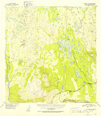
1952 · Gulkana A-6
USGS Topo · 1:63,360
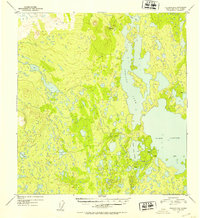
1952 · Gulkana B-6
USGS Topo · 1:63,360
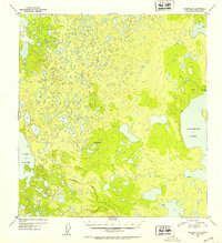
1952 · Gulkana B-5
USGS Topo · 1:63,360

1959 · Gulkana
USGS Topo · 1:250,000