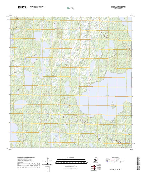
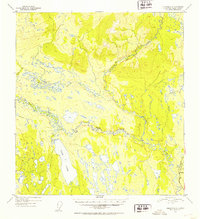
2023 Map of Gulkana B-4 NW
USGS Topo · Published 2023About this map
The Sourdough-Ewan Lake Trl cuts through a landscape defined by an intricate network of interconnected waterways and wetlands in this part of the Copper River Census Area. Centered on the expansive waters of Ewan Lake, the region shows a complex post-glacial topography where land and water are inextricably linked. Large named bodies such as Dog Lake, Deep Lake, and Crosswind Lake anchor different corners of the quadrangle, while Dog Creek provides a vital drainage link between the scattered basins. The distribution of these water bodies suggests a region that remained largely inaccessible by modern road infrastructure well into the 21st century, relying instead on established trails to traverse the terrain between larger lakes like Horseshoe Lake and Middle Lake.
Find a feature on this map
13 named features on this map. Tap any name to fly to it.
Don’t see what you’re looking for? This feature index may not catch every label — zoom into the map to look around manually.
Map Details
Editions of this 2023 Gulkana B-4 NW Map
This is the sole edition of this map. No revisions or reprints were ever made.
Other maps of this area

1950 · Gulkana C-4
USGS Topo · 1:63,360

1951 · Gulkana
USGS Topo · 1:250,000

1951 · Gulkana B-5
USGS Topo · 1:63,360

1951 · Gulkana C-5
USGS Topo · 1:63,360

1951 · Gulkana B-4
USGS Topo · 1:63,360
1952 · Gulkana B-4
USGS Topo · 1:63,360
1952 · Gulkana B-5
USGS Topo · 1:63,360
1952 · Gulkana C-5
USGS Topo · 1:63,360
1952 · Gulkana C-4
USGS Topo · 1:63,360

1959 · Gulkana
USGS Topo · 1:250,000