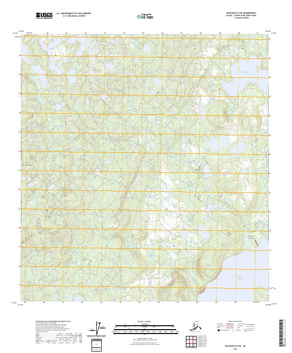
2023 Map of Gulkana B-5 NE
USGS Topo · Published 2023About this map
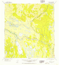
Crosswind Lake Airport stands as a primary point of access in this expansive section of the Alaska interior, situated near the shores of Crosswind Lake. The landscape is defined by the prominent Nen' Yese' Ridge, which shapes the local topography alongside numerous water bodies including Deep Lake and Y Lake. This 2023 survey provides a clear view of the wilderness environment within the Copper River Census Area, illustrating the sparse but critical infrastructure that supports remote aviation and transit. The map details the legal subdivisions of the Public Land Survey System, covering portions of t8n r5w and t7n r5w, reflecting the ongoing administrative organization of these northern territories.
Find a feature on this map
11 named features on this map. Tap any name to fly to it.
Don’t see what you’re looking for? This feature index may not catch every label — zoom into the map to look around manually.
Map Details
Editions of this 2023 Gulkana B-5 NE Map
This is the sole edition of this map. No revisions or reprints were ever made.
Other maps of this area

1950 · Gulkana C-4
USGS Topo · 1:63,360

1951 · Gulkana
USGS Topo · 1:250,000

1951 · Gulkana B-5
USGS Topo · 1:63,360

1951 · Gulkana C-5
USGS Topo · 1:63,360

1951 · Gulkana B-4
USGS Topo · 1:63,360
1952 · Gulkana B-4
USGS Topo · 1:63,360
1952 · Gulkana B-5
USGS Topo · 1:63,360
1952 · Gulkana C-5
USGS Topo · 1:63,360
1952 · Gulkana C-4
USGS Topo · 1:63,360

1959 · Gulkana
USGS Topo · 1:250,000