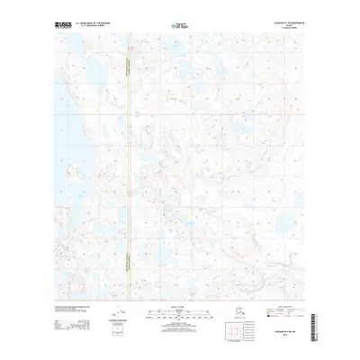
2013 Map of Gulkana B-5 SW
USGS Topo · Published 2013About this map
The glacial waters of Lake Louise dominate the western edge of this sub-arctic landscape, where a dense network of kettle lakes and meandering streams defines the interior terrain. The boundary between Matanuska-Susitna and Valdez-Cordova bisects the area, following a north-south meridian through a complex wetland system. The topography is characterized by a high concentration of named water bodies, including the descriptively titled Puzzle Piece Lake, Sea Horse Lake, and the connected basins of North Jans Lake and South Jans Lake. Drainage for this water-rich region is largely governed by the winding path of Tolsona Cr, which snakes across the center and southeastern portions of the map. This 2013 survey illustrates the largely undeveloped nature of the Copper River Basin, showing a landscape where natural hydrology remains the primary structural element.
Find a feature on this map
7 named features on this map. Tap any name to fly to it.
Don’t see what you’re looking for? This feature index may not catch every label — zoom into the map to look around manually.
Map Details
Editions of this 2013 Gulkana B-5 SW Map
This is the sole edition of this map. No revisions or reprints were ever made.
Other maps of this area
1949 · Gulkana A-5
USGS Topo · 1:63,360
1949 · Gulkana A-6
USGS Topo · 1:63,360
1950 · Gulkana B-6
USGS Topo · 1:63,360
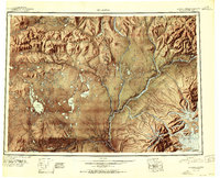
1951 · Gulkana
USGS Topo · 1:250,000
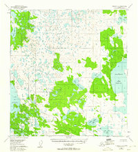
1951 · Gulkana B-5
USGS Topo · 1:63,360
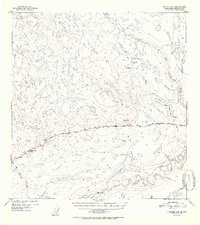
1952 · Gulkana A-5
USGS Topo · 1:63,360
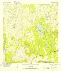
1952 · Gulkana A-6
USGS Topo · 1:63,360
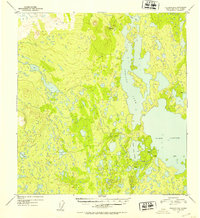
1952 · Gulkana B-6
USGS Topo · 1:63,360
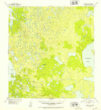
1952 · Gulkana B-5
USGS Topo · 1:63,360
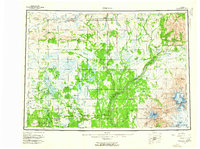
1959 · Gulkana
USGS Topo · 1:250,000