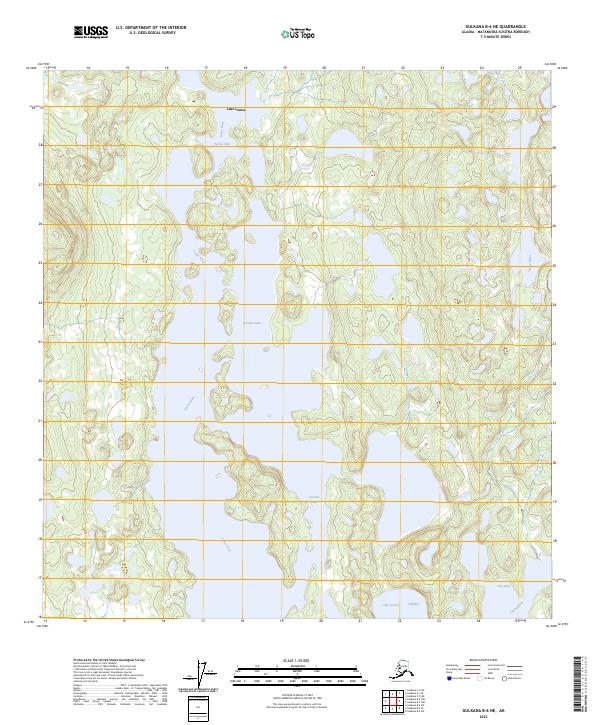
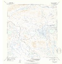
2023 Map of Gulkana B-6 NE
USGS Topo · Published 2023About this map
Lake Louise and Susitna Lake dominate this portion of the Copper River Basin, where a labyrinth of freshwater bodies defines the interior Alaskan landscape. This 2023 survey by the U.S. Geological Survey illustrates the hydrologic connection between these major lakes and the Tyone River, which threads through the low-lying terrain. The map details the intricate shoreline of the region, including Cliff Bay and smaller peripheral basins like Dog Lake and Tyone Lake. Historically a vital corridor for travel and subsistence, the area remains characterized by its complex wetlands and the absence of established road infrastructure, relying instead on the natural waterways for navigation and orientation across the Matanuska-Susitna region.
Find a feature on this map
10 named features on this map. Tap any name to fly to it.
Don’t see what you’re looking for? This feature index may not catch every label — zoom into the map to look around manually.
Map Details
Editions of this 2023 Gulkana B-6 NE Map
This is the sole edition of this map. No revisions or reprints were ever made.
Other maps of this area

1950 · Gulkana B-6
USGS Topo · 1:63,360

1951 · Gulkana
USGS Topo · 1:250,000

1951 · Gulkana B-5
USGS Topo · 1:63,360

1951 · Gulkana C-5
USGS Topo · 1:63,360

1951 · Gulkana C-6
USGS Topo · 1:63,360
1952 · Gulkana B-6
USGS Topo · 1:63,360
1952 · Gulkana B-5
USGS Topo · 1:63,360
1952 · Gulkana C-5
USGS Topo · 1:63,360
1952 · Gulkana C-6
USGS Topo · 1:63,360

1959 · Gulkana
USGS Topo · 1:250,000