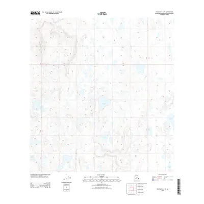
2013 Map of Gulkana B-6 SW
USGS Topo · Published 2013About this map
Grayling Lake sits at the heart of this high-elevation interior Alaskan landscape, characterized by a complex network of small alpine lakes and seasonal drainages. During the early twenty-first century, this portion of the Matanuska-Susitna Borough remained largely defined by its hydrography rather than human infrastructure, with prominent water bodies like Curtis Lake and Tabert Lake punctuating the terrain. The topography reveals a glacial legacy, where depressions in the earth have filled to form distinct features such as V Lake, S Lake, and Marsh Lake. The absence of roads or permanent settlements in this specific quadrant highlights the wilderness character of the region, where surveying lines for Range 9 West and Range 10 West provide the primary evidence of human organization across the vast, undulating surface.
Find a feature on this map
9 named features on this map. Tap any name to fly to it.
Don’t see what you’re looking for? This feature index may not catch every label — zoom into the map to look around manually.
Map Details
Editions of this 2013 Gulkana B-6 SW Map
This is the sole edition of this map. No revisions or reprints were ever made.
Other maps of this area
1949 · Talkeetna Mountains A-1
USGS Topo · 1:63,360
1949 · Gulkana A-6
USGS Topo · 1:63,360
1950 · Talkeetna Mountains
USGS Topo · 1:250,000
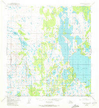
1950 · Gulkana B-6
USGS Topo · 1:63,360
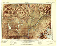
1951 · Gulkana
USGS Topo · 1:250,000
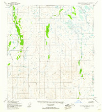
1951 · Talkeetna Mountains B-1
USGS Topo · 1:63,360
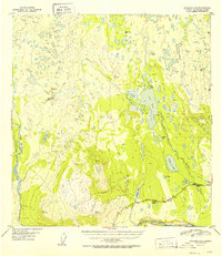
1952 · Gulkana A-6
USGS Topo · 1:63,360
1952 · Talkeetna Mountains A-1
USGS Topo · 1:63,360
1952 · Gulkana B-6
USGS Topo · 1:63,360
1952 · Talkeetna Mountains B-1
USGS Topo · 1:63,360