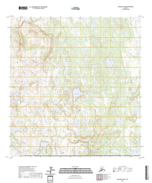
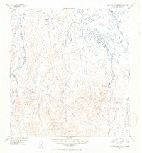
2023 Map of Gulkana B-6 SW
USGS Topo · Published 2023About this map
Grayling Lake and Curtis Lake lie within a complex network of glacial kettles and moraine deposits in this remote section of the Matanuska-Susitna region. The landscape is defined by its hydrography, showing a dense concentration of water bodies including V Lake, S Lake, and Tabert Lake that are characteristic of the Alaskan interior's poorly drained lowlands. This 2023 U.S. Geological Survey data illustrates the Public Land Survey System grid as it overlays the untamed terrain, marking townships such as t6n r9w and t7n r8w. The absence of established roads or settlements highlights the wilderness character of the Copper River basin periphery, where the distribution of Marsh Lake and its neighbors suggests a seasonally shifting wetland environment valuable for mapping environmental change or identifying remote backcountry landmarks.
Find a feature on this map
16 named features on this map. Tap any name to fly to it.
Don’t see what you’re looking for? This feature index may not catch every label — zoom into the map to look around manually.
Map Details
Editions of this 2023 Gulkana B-6 SW Map
This is the sole edition of this map. No revisions or reprints were ever made.
Other maps of this area

1949 · Talkeetna Mountains A-1
USGS Topo · 1:63,360

1949 · Gulkana A-6
USGS Topo · 1:63,360

1950 · Talkeetna Mountains
USGS Topo · 1:250,000

1950 · Gulkana B-6
USGS Topo · 1:63,360

1951 · Gulkana
USGS Topo · 1:250,000

1951 · Talkeetna Mountains B-1
USGS Topo · 1:63,360
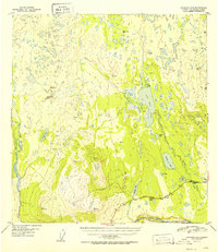
1952 · Gulkana A-6
USGS Topo · 1:63,360
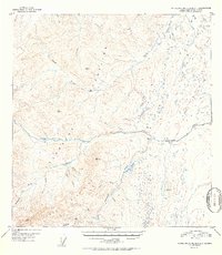
1952 · Talkeetna Mountains A-1
USGS Topo · 1:63,360
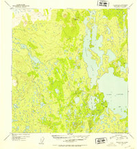
1952 · Gulkana B-6
USGS Topo · 1:63,360
1952 · Talkeetna Mountains B-1
USGS Topo · 1:63,360