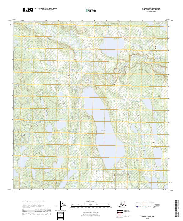
2023 Map of Gulkana C-4 SW
USGS Topo · Published 2023About this map
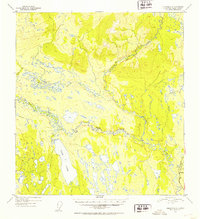
The Gulkana Wild and Scenic River defines the landscape of this Interior Alaska region, where the West Fork Gulkana River winds through a complex network of wetlands and subarctic terrain. This 2023 survey illustrates the hydrological character of the Copper River Census Area, highlighting the expansive waters of Fish Lake and the southern reach of Middle Lake. The map provides a precise layout of public land survey system boundaries, including portions of T10N R4W and T9N R3W, which are essential for tracing land use and property history in this undeveloped wilderness. The absence of roads or established settlements underscores the preserved state of this river corridor, offering a detailed view of the natural drainage patterns and topographical contours that have shaped the area's geography for decades.
Find a feature on this map
11 named features on this map. Tap any name to fly to it.
Don’t see what you’re looking for? This feature index may not catch every label — zoom into the map to look around manually.
Map Details
Editions of this 2023 Gulkana C-4 SW Map
This is the sole edition of this map. No revisions or reprints were ever made.
Other maps of this area

1950 · Gulkana C-4
USGS Topo · 1:63,360

1951 · Gulkana
USGS Topo · 1:250,000

1951 · Gulkana B-5
USGS Topo · 1:63,360

1951 · Gulkana C-5
USGS Topo · 1:63,360

1951 · Gulkana B-4
USGS Topo · 1:63,360
1952 · Gulkana B-4
USGS Topo · 1:63,360
1952 · Gulkana B-5
USGS Topo · 1:63,360
1952 · Gulkana C-5
USGS Topo · 1:63,360
1952 · Gulkana C-4
USGS Topo · 1:63,360

1959 · Gulkana
USGS Topo · 1:250,000