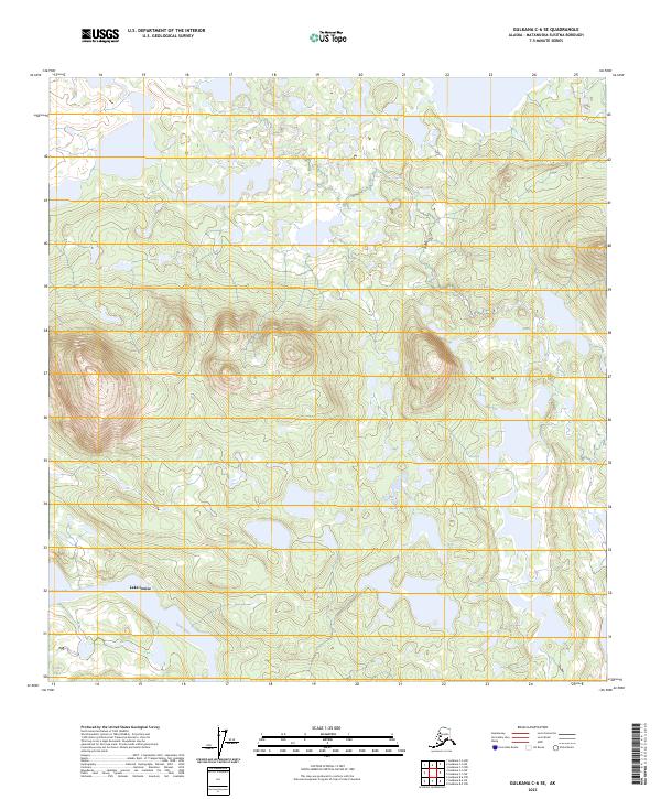
2023 Map of Gulkana C-6 SE
USGS Topo · Published 2023About this map
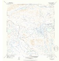
Lake Louise and the adjacent Tyone Lake dominate this northern landscape within the Matanuska-Susitna Borough. The terrain is characterized by an intricate network of wetlands and small water bodies that drain into the Tyone River, reflecting the glacial history of the Copper River Basin. While the map is geographically complex, it remains largely undeveloped, showcasing the vast hydrographic patterns of the Alaskan interior as they appeared in 2023. Public land survey boundaries for t10n r8w, t9n r8w, and t8n r8w provide the primary structural overlay for this region, illustrating the systematic grid applied to even the most remote stretches of the state.
Find a feature on this map
9 named features on this map. Tap any name to fly to it.
Don’t see what you’re looking for? This feature index may not catch every label — zoom into the map to look around manually.
Map Details
Editions of this 2023 Gulkana C-6 SE Map
This is the sole edition of this map. No revisions or reprints were ever made.
Other maps of this area

1950 · Gulkana B-6
USGS Topo · 1:63,360

1951 · Gulkana
USGS Topo · 1:250,000

1951 · Gulkana B-5
USGS Topo · 1:63,360

1951 · Gulkana C-5
USGS Topo · 1:63,360

1951 · Gulkana C-6
USGS Topo · 1:63,360
1952 · Gulkana B-6
USGS Topo · 1:63,360
1952 · Gulkana B-5
USGS Topo · 1:63,360
1952 · Gulkana C-5
USGS Topo · 1:63,360
1952 · Gulkana C-6
USGS Topo · 1:63,360

1959 · Gulkana
USGS Topo · 1:250,000