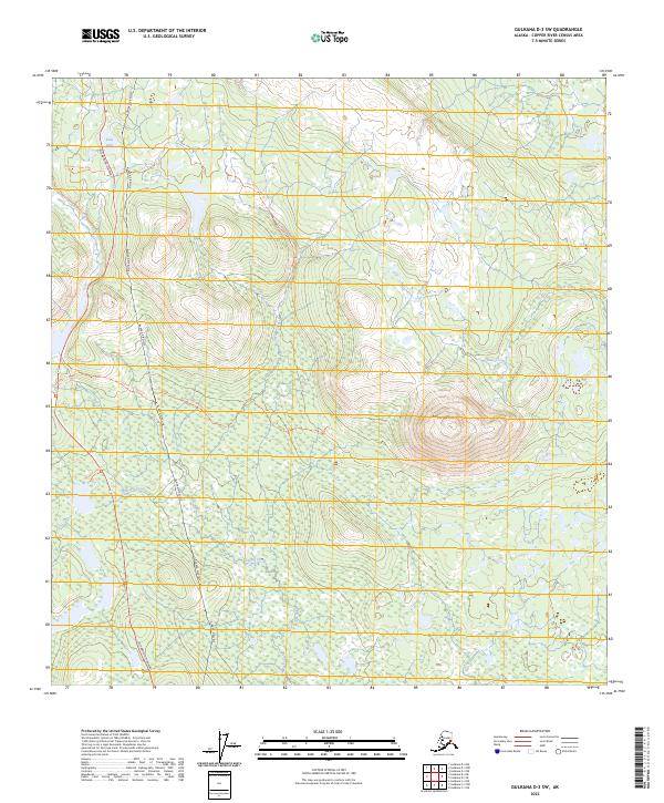
2023 Map of Gulkana D-3 SW
USGS Topo · Published 2023About this map
Alaska Pipeline infrastructure dominates the western corridor of this interior landscape, running parallel to the Richardson Highway. This modern survey illustrates the strategic intersection of industrial transport and wilderness access, where multiple trail systems branch off into the backcountry. To the east, the prominent elevation of Round Top Mtn serves as a local landmark, surrounded by a complex network of glacial hydrology including Otter Creek and Spring Creek. The map documents a contemporary view of the Alaskan wilderness, highlighting how legacy routes like the Green Cabin Trl and Little Meiers Lake Trl continue to provide access to remote areas like Dick Lake and the watershed of Gillespie Creek.
Find a feature on this map
18 named features on this map. Tap any name to fly to it.
Don’t see what you’re looking for? This feature index may not catch every label — zoom into the map to look around manually.
Map Details
Editions of this 2023 Gulkana D-3 SW Map
This is the sole edition of this map. No revisions or reprints were ever made.
Other maps of this area

1949 · Gulkana D-3
USGS Topo · 1:63,360

1950 · Gulkana D-4
USGS Topo · 1:63,360

1950 · Gulkana C-3
USGS Topo · 1:63,360

1950 · Gulkana C-4
USGS Topo · 1:63,360

1951 · Gulkana
USGS Topo · 1:250,000

1952 · Gulkana D-3
USGS Topo · 1:63,360

1952 · Gulkana D-4
USGS Topo · 1:63,360
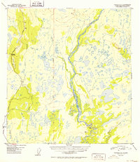
1952 · Gulkana C-3
USGS Topo · 1:63,360
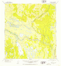
1952 · Gulkana C-4
USGS Topo · 1:63,360
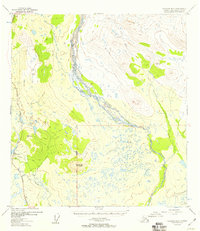
1954 · Gulkana D-3
USGS Topo · 1:63,360