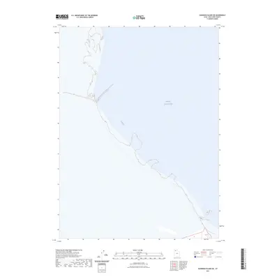
2023 Map of Gunnison Island SW
USGS Topo · Published 2023About this map
The Great Salt Lake dominates this landscape in Box Elder County, showing the shifting western shoreline as it appeared in the early 2020s. This specific survey area highlights the vast expanse of the northern basin, where the water meets the expansive salt flats and desert terrain typical of northern Utah's terminal lake system. The map serves as a contemporary record of the shoreline's edge, documenting the boundary where the shallow waters of the Great Salt Lake transition into the surrounding alkaline basins. Researchers can observe the subtle elevation contours and drainage patterns that characterize this remote portion of the lake bed, providing a modern baseline for studying the hydrological changes and geographic isolation of the region's unique desert environment.
Find a feature on this map
1 named feature on this map. Tap any name to fly to it.
Don’t see what you’re looking for? This feature index may not catch every label — zoom into the map to look around manually.
Map Details
Editions of this 2023 Gunnison Island SW Map
This is the sole edition of this map. No revisions or reprints were ever made.
Other maps of this area

1954 · Brigham City
USGS Topo · 1:250,000

1958 · Brigham City
USGS Topo · 1:250,000

1962 · Brigham City
USGS Topo · 1:250,000

1969 · Dolphin Island West
USGS Topo · 1:24,000

1969 · Gunnison Island SW
USGS Topo · 1:24,000

1969 · Hogup Ridge South
USGS Topo · 1:24,000

1969 · Strongs Knob
USGS Topo · 1:24,000

1969 · Gunnison Island
USGS Topo · 1:24,000
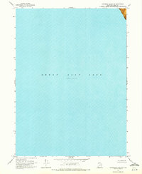
1969 · Gunnison Island NE
USGS Topo · 1:24,000
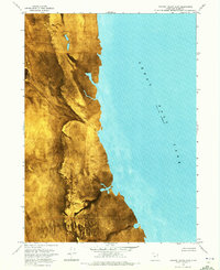
1969 · Dolphin Island East
USGS Topo · 1:24,000