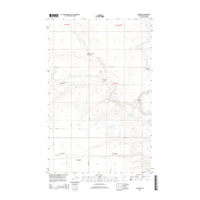
2014 Map of Gunsight
USGS Topo · Published 2014About this map
Gunsight serves as the primary landmark in this 2014 study of the northern Montana plains. The landscape is defined by the intricate drainage systems and seasonal waterways characteristic of Glacier County, most notably the meandering course of Cut Bank Creek and the deep incisions of South Fork Little Rock Coulee, Little Rock Coulee, and Big Rock Coulee. These features illustrate the natural erosion patterns of the high prairie.
Find a feature on this map
25 named features on this map. Tap any name to fly to it.
Don’t see what you’re looking for? This feature index may not catch every label — zoom into the map to look around manually.
Map Details
Editions of this 2014 Gunsight Map
This is the sole edition of this map. No revisions or reprints were ever made.
Other maps of this area
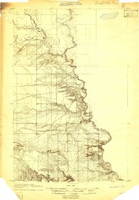
1907 · Blackfoot Res.
USGS Topo · 1:48,000
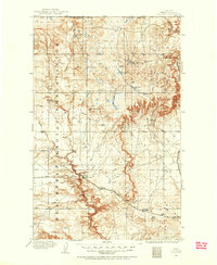
1909 · Cut Bank
USGS Topo · 1:125,000
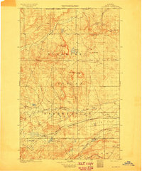
1911 · Blackfoot
USGS Topo · 1:125,000
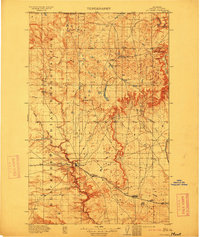
1912 · Cut Bank
USGS Topo · 1:125,000
1960 · Cut Bank
USGS Topo · 1:250,000
1963 · Cut Bank
USGS Topo · 1:250,000
1964 · Cut Bank
USGS Topo · 1:250,000
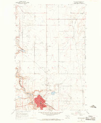
1966 · Cut Bank
USGS Topo · 1:24,000
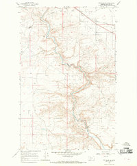
1966 · Cut Bank SE
USGS Topo · 1:24,000
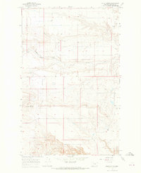
1966 · Squaw Buttes
USGS Topo · 1:24,000