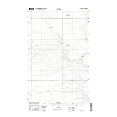
2017 Map of Gunsight
USGS Topo · Published 2017About this map
Gunsight sits along the southern edge of this Montana landscape, where the high plains of Glacier County are defined by a complex network of coulees and irrigation features. The terrain is deeply incised by Cut Bank Creek, which winds through the central portion of the sheet, joined by several named drainages including Big Rock Coulee and Little Rock Coulee. To the north, the South Fork Little Rock Coulee further illustrates the erosional patterns of this region. The agricultural and water management infrastructure of the area is represented by Q Lateral, which moves water across the prairie near a cluster of small basins including Conway Lake, Hope Lake, and Allison Lake. A network of rural section roads like Henderson Rd and Pendergrass Rd provides access to the dispersed homesteads and grazing lands typical of this part of the state.
Find a feature on this map
29 named features on this map. Tap any name to fly to it.
Don’t see what you’re looking for? This feature index may not catch every label — zoom into the map to look around manually.
Map Details
Editions of this 2017 Gunsight Map
This is the sole edition of this map. No revisions or reprints were ever made.
Other maps of this area
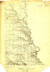
1907 · Blackfoot Res.
USGS Topo · 1:48,000
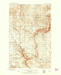
1909 · Cut Bank
USGS Topo · 1:125,000
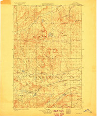
1911 · Blackfoot
USGS Topo · 1:125,000
1912 · Cut Bank
USGS Topo · 1:125,000
1960 · Cut Bank
USGS Topo · 1:250,000
1963 · Cut Bank
USGS Topo · 1:250,000
1964 · Cut Bank
USGS Topo · 1:250,000
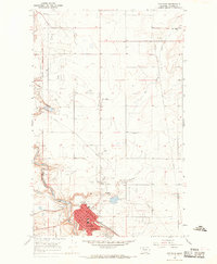
1966 · Cut Bank
USGS Topo · 1:24,000
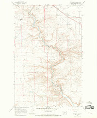
1966 · Cut Bank SE
USGS Topo · 1:24,000
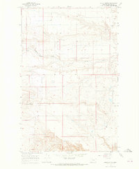
1966 · Squaw Buttes
USGS Topo · 1:24,000