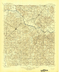
1901 Map of Gurdon
USGS Topo · Published 1945About this map
The Little Missouri River snakes through South Central Arkansas, forming a winding natural boundary between Clark, Pike, and Nevada counties. This landscape is defined by the heavy presence of early logging and transit corridors, notably the St. Louis Iron Mountain and Southern R. R. which connects timber hubs like Gurdon and Beirne. The town of Prescott serves as a primary western anchor, where the Prescott and Northwestern R. R. branches off to serve the surrounding countryside.
Find a feature on this map
85 named features on this map. Tap any name to fly to it.
Don’t see what you’re looking for? This feature index may not catch every label — zoom into the map to look around manually.
Map Details
Editions of this 1901 Gurdon Map
3 editions found
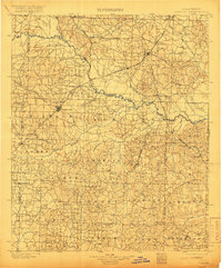
Other maps of this area

1901 · Gurdon
USGS Topo · 1:125,000

1903 · Camden
USGS Topo · 1:125,000

1906 · Caddo Gap
USGS Topo · 1:125,000

1943 · Antoine
USGS Topo · 1:62,500

1951 · Blevins
USGS Topo · 1:24,000

1951 · Patmos
USGS Topo · 1:24,000

1951 · Pisgah
USGS Topo · 1:24,000

1951 · Hope
USGS Topo · 1:24,000

1952 · Old Town
USGS Topo · 1:24,000

1953 · El Dorado
USGS Topo · 1:250,000