
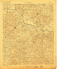
1901 Map of Gurdon
USGS Topo · Published 1901About this map
Prescott and Gurdon anchor this turn-of-the-century landscape, serving as critical hubs for the logging and rail industries that shaped Southwest Arkansas. The St. Louis Iron Mountain and Southern R. R. cuts diagonally across the terrain, meeting various spur lines such as the Prescott and Lumber Cos. R. R. that reach deep into the timberlands. The Little Missouri River meanders through the central region, defining the boundary line between several counties and providing a natural corridor for early development. Small settlements like Whelen Springs, Boughton, and Okolona are visible at their early stages, many situated along the rail corridors that were essential for the movement of goods. Genealogists and local historians can find a wealth of named townships, including Missouri, Red Land, and Georgia, which provide context for the rural settlement patterns before modern infrastructure transformed the region.
Find a feature on this map
86 named features on this map. Tap any name to fly to it.
Don’t see what you’re looking for? This feature index may not catch every label — zoom into the map to look around manually.
Map Details
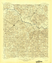
Editions of this 1901 Gurdon Map
3 editions found
Other maps of this area

1903 · Camden
USGS Topo · 1:125,000

1906 · Caddo Gap
USGS Topo · 1:125,000

1943 · Antoine
USGS Topo · 1:62,500

1951 · Blevins
USGS Topo · 1:24,000

1951 · Patmos
USGS Topo · 1:24,000

1951 · Pisgah
USGS Topo · 1:24,000

1951 · Hope
USGS Topo · 1:24,000

1952 · Old Town
USGS Topo · 1:24,000

1953 · El Dorado
USGS Topo · 1:250,000

1955 · Little Rock
USGS Topo · 1:250,000